|
search place name
|
||
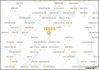
Yagon (Shan, Myanmar)Yagon is a town in the Shan region of Myanmar. An overview map of the region around Yagon is displayed below.
regional and 3d topo map of Yagon, Myanmar ::
Yagon airports ::
The nearest airport is HEH - Heho, located 44.6 km south of Yagon.
Other airports nearby include MDL - Mandalay Intl (103.5 km north west), LSH - Lashio (225.8 km north east), Nearby towns ::
Khwehauk (0.0km north) //
Wunzo Ashe (1.9km south) //
Htidaunggon (1.7km east) //
Wunzo Anauk (2.5km south west) //
Paungbya (2.5km south west) //
Wunzo (2.5km south west) //
Aungmyin-in (4.1km south east) //
Okpo (3.9km north east) //
Kyaunggon (5.1km south west) //
Khaletpin (5.1km north east) //
Nawngtahkaw (5.6km north) //
Pabwe (5.8km south) //
Haning (5.5km west) //
Myenigon (5.8km south) //
Ye-e (5.5km west) //
Kyauktalon (6.5km south west) //
Panmet (6.4km south west) //
Chaung-udo (6.5km north west) //
Pinzeinbin (6.4km south east) //
Shinthe (6.4km north east) //
Kanainggyi (7.4km north) //
Panbong (7.2km west) //
Einmye (7.2km east) //
Nawngmo (7.6km north) //
Kyaungkwe (7.6km south west) //
Magyigon (7.6km south west) //
Kywedaung (7.6km south east) //
Thaletpin (7.6km north east) //
Tayekyun (7.8km north west) //
[all distances 'as the bird flies' and approximate] 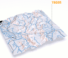 Places with similar names to Yagon, Myanmar ::
Disclaimer :: Information on this page comes without warranty of any kind |
||
|
Where is Yagon? Elevation and coordinates ::
Latitude (lat): 21°9'0"N Longitude (lon): 96°47'0"E
Elevation (approx.): 955m (map arrows pan, magnifying glasses zoom) |
||
|
Visiting Yagon? Hotel/Accommodation ::
Book a hotel in Yagon Travel Guide ::
Buy a travel guide for Myanmar rental cars ::
car rental offers GPS waypoint ::
download a GPX waypoint (PoI) of Yagon for your GPS receiver
|
||