|
search place name
|
||
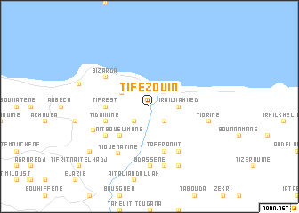
Tifezouin (Algeria)Tifezouin is a town in Algeria. An overview map of the region around Tifezouin is displayed below.
regional and 3d topo map of Tifezouin, Algeria ::
Tifezouin airports ::
The nearest airport is BJA - Bejaja Soummam, located 53.7 km east of Tifezouin.
Other airports nearby include ALG - Algier Houari Boumediene (116.3 km west), GJL - Jijel (122.8 km east), Nearby towns ::
Aït Lerzel (2.4km south west) //
Igoudjdal (2.4km south east) //
Irhil MʼAhmed (3.0km east) //
Tamziouene (3.3km north west) //
Aït Bou Slimane (4.7km south west) //
Tifrest (4.4km west) //
Tidmimine (4.8km south west) //
Taferaout (5.8km south) //
Bizarga (5.8km north west) //
Aït Chafa (6.3km south east) //
Kissoun (5.8km south west) //
Tiguenatine (6.7km south west) //
Ibdassene (7.4km south) //
Kelaa (6.3km south west) //
Tigrine (6.2km east) //
El Koudiat (7.6km south) //
Aït Ahmed (8.0km south) //
El Ma Guechtoum (8.1km south west) //
Azeffoun (7.7km west) //
Tifrit-n-Aït el Hadj (10.3km south west) //
[all distances 'as the bird flies' and approximate] 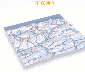 Places with similar names to Tifezouin, Algeria ::
// Tevzana (RU)
// Tifziouine (MA)
// Tifziouine (MA)
// Davison (US)
// Dovsun (RU)
// Devesin (HT)
// Devezin (HT)
// Duvoisin (HT)
// Hyttefossen (NO)
// Tavazzano (IT)
Disclaimer :: Information on this page comes without warranty of any kind |
||
|
Where is Tifezouin? Elevation and coordinates ::
Latitude (lat): 36°52'0"N Longitude (lon): 4°30'0"E
Elevation (approx.): 12m (map arrows pan, magnifying glasses zoom) |
||
|
Visiting Tifezouin? Hotel/Accommodation ::
Book a hotel in Tifezouin Travel Guide ::
Buy a travel guide for Algeria rental cars ::
car rental offers GPS waypoint ::
download a GPX waypoint (PoI) of Tifezouin for your GPS receiver
|
||