|
search place name
|
||
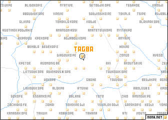
Tagba (Togo)Tagba is a town in Togo. An overview map of the region around Tagba is displayed below.
regional and 3d topo map of Tagba, Togo ::
Tagba airports ::
The nearest airport is LFW - Lome Gnassingbe Eyadema Intl, located 65.7 km south east of Tagba.
Other airports nearby include ACC - Accra Kotoka Intl (152.2 km south west), COO - Cotonou Cadjehoun (175.0 km east), Nearby towns ::
Zikpé (1.9km south) //
Galékopé (2.6km north west) //
Adakopé (2.6km south west) //
Héléhoui (2.6km south west) //
Diadoukopé (3.7km west) //
Adjaboukopé (4.1km north west) //
Sétekpé (4.1km south east) //
Agbofakopé (4.1km north west) //
Agoudouvou (5.5km west) //
Bémé (5.9km north) //
Gbomé (5.9km south) //
Lakwi (5.9km north) //
Vakpo (5.8km west) //
Aki (5.8km east) //
Amatétoukopé (6.7km north east) //
Bodo (6.7km south east) //
Koudassi (6.7km north east) //
Akpaloukopé (6.7km north west) //
Amangomassi (6.7km north west) //
Adiémassikopé (6.7km south west) //
Avédjéta (6.7km south east) //
Aményoukpé (7.4km east) //
Atékwi (7.4km south) //
Adigbli (7.6km east) //
Kodjé (7.6km north) //
Atakpamé (7.6km west) //
Anyahoui (7.6km west) //
Bédékopé (7.6km west) //
Agomonigbé (7.6km west) //
[all distances 'as the bird flies' and approximate] 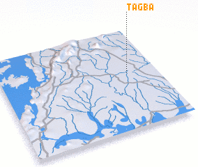 Places with similar names to Tagba, Togo ::
Disclaimer :: Information on this page comes without warranty of any kind |
||
|
Where is Tagba? Elevation and coordinates ::
Latitude (lat): 6°34'0"N Longitude (lon): 0°49'0"W
Elevation (approx.): 112m (map arrows pan, magnifying glasses zoom) |
||
|
Visiting Tagba? Hotel/Accommodation ::
Book a hotel in Tagba Travel Guide ::
Buy a travel guide for Togo rental cars ::
car rental offers GPS waypoint ::
download a GPX waypoint (PoI) of Tagba for your GPS receiver
|
||