|
search place name
|
||
Khanyly (Cǝlilabad, Azerbaijan)Khanyly is a town in the Cǝlilabad region of Azerbaijan. An overview map of the region around Khanyly is displayed below.
regional and 3d topo map of Khanyly, Azerbaijan ::

Khanyly airports ::
The nearest airport is BAK - Baku Heydar Aliyev, located 202.2 km north east of Khanyly.
Other airports nearby include RAS - Rasht (235.3 km south east), Nearby towns ::
Radzhabli (1.9km north) //
Lezran (1.9km south) //
Mirzali (2.7km north) //
İcarǝ (2.8km north east) //
Cǝngan (3.0km south west) //
Agusam (2.9km west) //
Chinar (3.7km south) //
Mirtakhmazli (4.0km north) //
Porsova (3.4km south east) //
Meshadiguseynli (4.0km south) //
Cǝlair (3.9km north west) //
Dövlǝtǝlibǝyli (3.9km east) //
Babaly (5.0km north) //
Gadzhymamedli (4.7km north east) //
Gasanli (4.7km south east) //
Kürdlǝr (4.3km east) //
Lallar (4.3km west) //
Tazakend (4.7km north west) //
Şabanlı (5.7km north east) //
Tǝklǝ (6.6km north) //
Dzherimbelʼ (6.3km north east) //
Parnaim (5.7km north west) //
Zupun (5.5km south east) //
Pǝrdili (5.6km west) //
Mǝmmǝdrzalı (6.3km north west) //
Şorbaçı (6.9km north) //
Yarly (6.0km west) //
Aliabad (6.0km east) //
Soltankǝnd (6.8km south west) //
[all distances 'as the bird flies' and approximate] 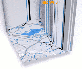 Places with similar names to Khanyly, Azerbaijan ::
Disclaimer :: Information on this page comes without warranty of any kind |
||
|
Where is Khanyly? Elevation and coordinates ::
Latitude (lat): 39°12'0"N Longitude (lon): 48°21'0"E
Elevation (approx.): 287m (map arrows pan, magnifying glasses zoom) |
||
|
Visiting Khanyly? Hotel/Accommodation ::
Book a hotel in Khanyly Travel Guide ::
Buy a travel guide for Azerbaijan rental cars ::
car rental offers GPS waypoint ::
download a GPX waypoint (PoI) of Khanyly for your GPS receiver
|
||