|
search place name
|
||
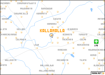
Kallamalla (La Paz, Bolivia)Kallamalla is a town in the La Paz region of Bolivia. An overview map of the region around Kallamalla is displayed below.
regional and 3d topo map of Kallamalla, Bolivia ::
Kallamalla airports ::
The nearest airport is LPB - La Paz El Alto Intl, located 15.1 km east of Kallamalla.
Other airports nearby include JUL - Juliaca (226.3 km north west), TCQ - Tacna Coronel Carlos Ciriani Santa Rosa Intl (268.7 km south west), Nearby towns ::
Puma Amaya (1.8km east) //
Pomacollo (1.9km south) //
Kallutaca (2.6km south east) //
Kaparasi (3.7km north) //
Villancrani (3.6km east) //
Capacasi (4.1km north east) //
Ocomisto (5.3km east) //
Cucuta (5.8km north) //
Tacachira (5.6km east) //
Laja (6.5km south west) //
Kiluyo (6.6km south east) //
Coco Huta (6.6km north east) //
Nina Chiri (6.6km south east) //
Chusamarca (7.3km east) //
Ichuairca (7.3km east) //
Huchucollo (8.0km south east) //
Korapata (8.2km north west) //
Huonocollo (9.0km south east) //
[all distances 'as the bird flies' and approximate] 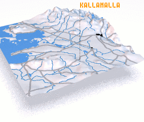 Places with similar names to Kallamalla, Bolivia ::
// Calumala (PH)
// Kahlemeile (DE)
// Koloa Mill (US)
// Külmla (DE)
// Colmeal (PT)
// Colmeal (PT)
// Colmeal (PT)
// Colmeal (PT)
// Colmeal (PT)
// Golumbelu (RO)
Disclaimer :: Information on this page comes without warranty of any kind |
||
|
Where is Kallamalla? Elevation and coordinates ::
Latitude (lat): 16°30'0"S Longitude (lon): 68°20'0"W
Elevation (approx.): 3886m (map arrows pan, magnifying glasses zoom) |
||
|
Visiting Kallamalla? Hotel/Accommodation ::
Book a hotel in Kallamalla Travel Guide ::
Buy a travel guide for Bolivia rental cars ::
car rental offers GPS waypoint ::
download a GPX waypoint (PoI) of Kallamalla for your GPS receiver
|
||