|
search place name
|
||
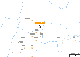
Banja (Cameroon)Banja is a town in Cameroon. An overview map of the region around Banja is displayed below.
regional and 3d topo map of Banja, Cameroon ::
Banja airports ::
The nearest airport is BPC - Bamenda, located 68.1 km south of Banja.
Other airports nearby include BFX - Bafoussam (121.5 km south), FOM - Foumban Nkounja (121.7 km south east), MDI - Makurdi (219.1 km north west), CBQ - Calabar (282.1 km south west), Nearby towns ::
Mufo (1.9km south) //
Mashi (2.6km south west) //
Mundabi (3.7km south) //
Missong (5.2km south west) //
Nkannyé (5.2km north west) //
Nkang (5.2km north west) //
Koskin (5.9km south) //
Kwana (6.7km north west) //
Abu (9.2km south west) //
Munken (9.2km south west) //
[all distances 'as the bird flies' and approximate] 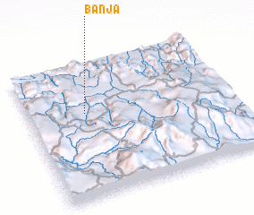 Places with similar names to Banja, Cameroon ::
Disclaimer :: Information on this page comes without warranty of any kind |
||
|
Where is Banja? Elevation and coordinates ::
Latitude (lat): 6°38'0"N Longitude (lon): 10°17'0"E
Elevation (approx.): 701m (map arrows pan, magnifying glasses zoom) |
||
|
Visiting Banja? Hotel/Accommodation ::
Book a hotel in Banja Travel Guide ::
Buy a travel guide for Cameroon rental cars ::
car rental offers GPS waypoint ::
download a GPX waypoint (PoI) of Banja for your GPS receiver
|
||