|
search place name
|
||
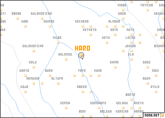
Hāro (Ethiopia)Hāro is a town in Ethiopia. An overview map of the region around Hāro is displayed below.
regional and 3d topo map of Hāro, Ethiopia ::
Hāro airports ::
The nearest airport is ADD - Addis Ababa Bole Intl, located 76.7 km south east of Hāro.
Other airports nearby include JIM - Jimma (239.2 km south west), Nearby towns ::
Yaya (3.7km south) //
Welēnsu (3.7km west) //
Ulē (4.1km south east) //
Gola (4.1km south west) //
Kumē (5.2km south east) //
Kʼetʼkʼetʼo (5.9km north) //
Deyu (6.6km north east) //
Kilbē (6.6km north west) //
Ābero (7.4km south) //
Kʼechʼema (7.4km north) //
Līmenī (7.6km south) //
Shīno (7.5km east) //
Welēnsu (7.6km north) //
Chʼergugo (7.8km south west) //
Āltufa (7.8km south west) //
Burē (8.2km south west) //
Dedīnu (9.2km north east) //
Soyē (9.2km north east) //
Ālmawa (10.4km north east) //
Mutʼē Robī (10.4km north east) //
Shirmo (10.4km north west) //
[all distances 'as the bird flies' and approximate] 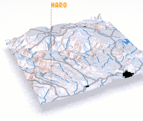 Places with similar names to Hāro, Ethiopia ::
Disclaimer :: Information on this page comes without warranty of any kind |
||
|
Where is Hāro? Elevation and coordinates ::
Latitude (lat): 9°20'0"N Longitude (lon): 38°12'0"E
Elevation (approx.): 2325m (map arrows pan, magnifying glasses zoom) |
||
|
Visiting Hāro? Hotel/Accommodation ::
Book a hotel in Hāro Travel Guide ::
Buy a travel guide for Ethiopia rental cars ::
car rental offers GPS waypoint ::
download a GPX waypoint (PoI) of Hāro for your GPS receiver
|
||