|
search place name
|
||
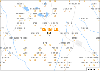
Kʼersalo (Ethiopia)Kʼersalo is a town in Ethiopia. An overview map of the region around Kʼersalo is displayed below.
regional and 3d topo map of Kʼersalo, Ethiopia ::
Kʼersalo airports ::
The nearest airport is DIR - Dire Dawa Intl, located 37.8 km north west of Kʼersalo.
Nearby towns ::
Maye Gudo (2.6km north west) //
Āweday (2.6km north east) //
Kalīso (3.7km south) //
Kodelē (3.7km west) //
Gobe (3.7km north) //
Bīyo (4.1km south west) //
Kura (4.1km north west) //
Dīdīmtu (4.1km north east) //
Hamarēsa (5.5km east) //
Abucher (5.5km west) //
Mesno (5.9km south) //
Jero Wenta (6.6km south east) //
Bīyo (6.7km south west) //
Tīrtīrga (6.6km north east) //
Kero (6.6km north west) //
Maya Gudo (7.6km south) //
Kʼumash (7.6km south) //
‘Alem Maya (7.6km north) //
Beda (7.6km north) //
Īdo Dirē (8.3km south west) //
Tula (8.2km north east) //
Kelīfa (9.2km south west) //
Daba (9.2km north west) //
Ērē Āwo (9.2km south east) //
Jeba (9.2km north west) //
Ādeyle (10.4km north west) //
[all distances 'as the bird flies' and approximate] 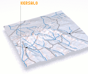 Places with similar names to Kʼersalo, Ethiopia ::
Disclaimer :: Information on this page comes without warranty of any kind |
||
|
Where is Kʼersalo? Elevation and coordinates ::
Latitude (lat): 9°20'0"N Longitude (lon): 42°2'0"E
Elevation (approx.): 1930m (map arrows pan, magnifying glasses zoom) |
||
|
Visiting Kʼersalo? Hotel/Accommodation ::
Book a hotel in Kʼersalo Travel Guide ::
Buy a travel guide for Ethiopia rental cars ::
car rental offers GPS waypoint ::
download a GPX waypoint (PoI) of Kʼersalo for your GPS receiver
|
||