|
search place name
|
||
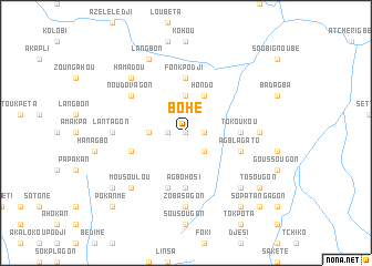
Bohé (Benin)Bohé is a town in Benin. An overview map of the region around Bohé is displayed below.
regional and 3d topo map of Bohé, Benin ::
Bohé airports ::
The nearest airport is COO - Cotonou Cadjehoun, located 135.6 km south east of Bohé.
Other airports nearby include LFW - Lome Gnassingbe Eyadema Intl (162.3 km south west), LOS - Lagos Murtala Muhammed (186.3 km south east), Nearby towns ::
Houvi (0.0km north) //
Kisekan (1.8km west) //
Djogon (1.8km east) //
Adjazon (2.6km south east) //
Agousotodji (2.6km south east) //
Gagavi (2.6km south east) //
Kakatéou (3.7km west) //
Bohoué (3.7km north) //
Hondo (4.1km north east) //
Agbohosi (5.6km south) //
Fonkpodji (5.6km north) //
Tokoukou (5.5km east) //
Agbladjé (5.8km west) //
Agblagato (5.8km east) //
Bégangon (5.9km south) //
Noudovagon (6.6km north west) //
Agondopoué (7.4km south) //
Zobasagon (7.4km south) //
Lantagon (7.4km west) //
Blaka (7.4km east) //
Hamadou (7.8km north west) //
Mousoulou (7.8km south west) //
Kozokamé (7.8km south east) //
Langbon (8.3km north west) //
Pota (9.2km south east) //
Métonougon (9.2km south west) //
Agbétogagon (9.2km south east) //
Tosougon (9.2km south east) //
Agbamégon (9.2km south east) //
[all distances 'as the bird flies' and approximate] 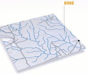 Places with similar names to Bohé, Benin ::
Disclaimer :: Information on this page comes without warranty of any kind |
||
|
Where is Bohé? Elevation and coordinates ::
Latitude (lat): 7°29'0"N Longitude (lon): 1°54'0"E
Elevation (approx.): 164m (map arrows pan, magnifying glasses zoom) |
||
|
Visiting Bohé? Hotel/Accommodation ::
Book a hotel in Bohé Travel Guide ::
Buy a travel guide for Benin rental cars ::
car rental offers GPS waypoint ::
download a GPX waypoint (PoI) of Bohé for your GPS receiver
|
||