|
search place name
|
||
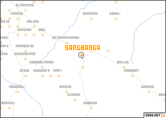
Sangbanga (Benin)Sangbanga is a town in Benin. An overview map of the region around Sangbanga is displayed below.
regional and 3d topo map of Sangbanga, Benin ::
Sangbanga airports ::
The nearest airport is LRL - Niatougou Niamtougou International, located 93.0 km west of Sangbanga.
Nearby towns ::
Boni-Korokou (1.9km south) //
Partago (2.6km north east) //
Setmsi-Kpemrhou (5.2km north west) //
Setimsi (5.2km north west) //
Dourapéroun (5.8km east) //
Kpati (6.6km south west) //
Biniéra (8.3km south west) //
Goumbiyako (8.2km south west) //
[all distances 'as the bird flies' and approximate] 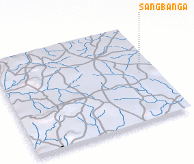 Places with similar names to Sangbanga, Benin ::
// Sungaibaung (ID)
// Sungaibaung (ID)
// Sungaibunga (ID)
// Sangobong (KP)
// Songbong (KP)
// Ssangbong (KP)
// Sangbong (KR)
// Sangbong (KR)
// Songbang (KR)
// Sŭngbang (KR)
Disclaimer :: Information on this page comes without warranty of any kind |
||
|
Where is Sangbanga? Elevation and coordinates ::
Latitude (lat): 9°31'0"N Longitude (lon): 1°54'0"E
Elevation (approx.): 391m (map arrows pan, magnifying glasses zoom) |
||
|
Visiting Sangbanga? Hotel/Accommodation ::
Book a hotel in Sangbanga Travel Guide ::
Buy a travel guide for Benin rental cars ::
car rental offers GPS waypoint ::
download a GPX waypoint (PoI) of Sangbanga for your GPS receiver
|
||