|
search place name
|
||
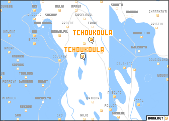
Tchoukoula (Chari-Baguirmi, Chad)Tchoukoula is a town in the Chari-Baguirmi region of Chad. An overview map of the region around Tchoukoula is displayed below.
regional and 3d topo map of Tchoukoula, Chad ::
Tchoukoula airports ::
The nearest airport is NDJ - N'djamena Ndjamena Hassan Djamous, located 29.1 km south of Tchoukoula.
Other airports nearby include MIU - Maiduguri (211.7 km west), MVR - Maroua Salak (226.7 km south), Nearby towns ::
Djéména (3.7km north) //
Mahana (4.1km north east) //
Tchoukoula (4.1km north east) //
Goulféy (5.4km west) //
Abdjogana (5.7km east) //
Fahat (7.6km north) //
Mahd el Fîl (7.8km north west) //
Ardébé (8.2km north west) //
Moutenak (8.9km north east) //
Delekena (8.8km east) //
Am Boung (10.3km south east) //
[all distances 'as the bird flies' and approximate] 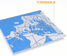 Places with similar names to Tchoukoula, Chad ::
// Tchakala (TD)
// Tchikali (TD)
// Tchoukoula (TD)
// Tchoukouli (TD)
// Tchoukouli (TD)
// Tshakala (CD)
// Tshakala (CD)
// Tshakala (CD)
// Tshakula (CD)
// Tshikala (CD)
Disclaimer :: Information on this page comes without warranty of any kind |
||
|
Where is Tchoukoula? Elevation and coordinates ::
Latitude (lat): 12°23'0"N Longitude (lon): 14°57'0"E
Elevation (approx.): 294m (map arrows pan, magnifying glasses zoom) |
||
|
Visiting Tchoukoula? Hotel/Accommodation ::
Book a hotel in Tchoukoula Travel Guide ::
Buy a travel guide for Chad rental cars ::
car rental offers GPS waypoint ::
download a GPX waypoint (PoI) of Tchoukoula for your GPS receiver
|
||