|
search place name
|
||
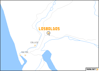
Los Boldos (Araucanía, Chile)Los Boldos is a town in the Araucanía region of Chile. An overview map of the region around Los Boldos is displayed below.
regional and 3d topo map of Los Boldos, Chile ::
Los Boldos airports ::
The nearest airport is ZAL - Valdivia Pichoy, located 55.7 km south of Los Boldos.
Other airports nearby include ZCO - Temuco Maquehue (60.5 km north east), ZOS - Osorno Canal Bajo Carlos Hott Siebert (162.4 km south), CPC - San Martin Des Andes Aviador C Campos (199.8 km south east), LSQ - Los Angeles Maria Dolores (203.7 km north), Nearby towns ::
Collico (5.7km south west) //
[all distances 'as the bird flies' and approximate] 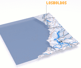 Places with similar names to Los Boldos, Chile ::
// Los Baldíos (ES)
// Los Bledos (CO)
// Las Bellotas (MX)
// Las Bolitas (MX)
// Las Bellotas (HN)
// Les Sablettes (DZ)
// Los Baldes (AR)
// Les Blaids (FR)
// Les Sablettes (FR)
Disclaimer :: Information on this page comes without warranty of any kind |
||
|
Where is Los Boldos? Elevation and coordinates ::
Latitude (lat): 39°9'0"S Longitude (lon): 73°8'0"W
Elevation (approx.): 11m (map arrows pan, magnifying glasses zoom) |
||
|
Visiting Los Boldos? Hotel/Accommodation ::
Book a hotel in Los Boldos Travel Guide ::
Buy a travel guide for Chile rental cars ::
car rental offers GPS waypoint ::
download a GPX waypoint (PoI) of Los Boldos for your GPS receiver
|
||