|
search place name
|
||
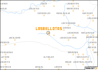
Las Bellotas (Olancho, Honduras)Las Bellotas is a town in the Olancho region of Honduras. An overview map of the region around Las Bellotas is displayed below.
regional and 3d topo map of Las Bellotas, Honduras ::
Las Bellotas airports ::
The nearest airport is LCE - La Ceiba Goloson Intl, located 94.7 km north west of Las Bellotas.
Other airports nearby include RTB - Roatan Juan Manuel Galvez Intl (131.9 km north), GJA - Guanaja (144.9 km north), TEA - Tela (152.6 km north west), TGU - Tegucigalpa Toncontin Intl (164.3 km south west), Nearby towns ::
Tenixtepe (0.0km north) //
Divisaderos (0.0km north) //
El Venado (0.0km north) //
Los Rincones (0.0km north) //
Manchones (0.0km north) //
Talquezate (1.9km north) //
Montaña Escondida (1.8km east) //
Potrerillos (2.6km north east) //
Rincón Grande (5.7km east) //
Cerro Pelón (7.6km north) //
Los Encuentros (7.4km east) //
Los Terreros (8.1km north east) //
Pueblo Viejo (9.2km north east) //
[all distances 'as the bird flies' and approximate] 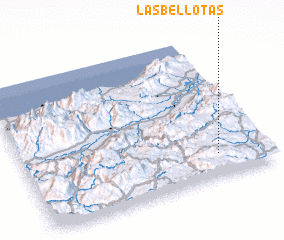 Places with similar names to Las Bellotas, Honduras ::
// Los Baldíos (ES)
// Los Boldos (CL)
// Los Bledos (CO)
// Las Bellotas (MX)
// Las Bolitas (MX)
// Les Sablettes (DZ)
// Los Baldes (AR)
// Les Blaids (FR)
// Les Sablettes (FR)
Disclaimer :: Information on this page comes without warranty of any kind |
||
|
Where is Las Bellotas? Elevation and coordinates ::
Latitude (lat): 15°10'0"N Longitude (lon): 86°12'0"W
Elevation (approx.): 973m (map arrows pan, magnifying glasses zoom) |
||
|
Visiting Las Bellotas? Hotel/Accommodation ::
Book a hotel in Las Bellotas Travel Guide ::
Buy a travel guide for Honduras rental cars ::
car rental offers GPS waypoint ::
download a GPX waypoint (PoI) of Las Bellotas for your GPS receiver
|
||