|
search place name
|
||
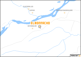
El Borracho (Cauca, Colombia)El Borracho is a town in the Cauca region of Colombia. An overview map of the region around El Borracho is displayed below.
regional and 3d topo map of El Borracho, Colombia ::
El Borracho airports ::
The nearest airport is TME - Tame, located 210.4 km north of El Borracho.
Other airports nearby include VVC - Villavicencio Vanguardia (218.4 km west), SJE - San Jose Del Guaviare Jorge E Gonzalez Torres (242.4 km south west), Nearby towns ::
 Places with similar names to El Borracho, Colombia ::
// El Briche (CU)
// El Barciao (CO)
// El Borracho (MX)
// El Borracho (VE)
// El Bruch (ES)
// El Brocho (CO)
// El Bracho (AR)
// El Borach (BR)
Disclaimer :: Information on this page comes without warranty of any kind |
||
|
Where is El Borracho? Elevation and coordinates ::
Latitude (lat): 4°33'0"N Longitude (lon): 71°41'0"W
Elevation (approx.): 168m (map arrows pan, magnifying glasses zoom) |
||
|
Visiting El Borracho? Hotel/Accommodation ::
Book a hotel in El Borracho Travel Guide ::
Buy a travel guide for Colombia rental cars ::
car rental offers GPS waypoint ::
download a GPX waypoint (PoI) of El Borracho for your GPS receiver
|
||