|
search place name
|
||
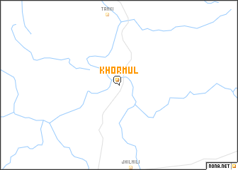
Khormul (Chhattīsgarh, India)Khormul is a town in the Chhattīsgarh region of India. An overview map of the region around Khormul is displayed below.
regional and 3d topo map of Khormul, India ::
Khormul airports ::
The nearest airport is PAB - Bilaspur, located 184.8 km south west of Khormul.
Other airports nearby include VNS - Varanasi (214.4 km north), TNI - Satna (232.2 km north west), IXD - Allahabad (240.4 km north west), RRK - Rourkela (246.6 km south east), Nearby towns ::
[all distances 'as the bird flies' and approximate] 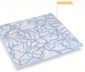 Places with similar names to Khormul, India ::
// Khūrmāl (IQ)
// Khūrmālah (IQ)
// Khoramaly (RU)
// Khoramaly (RU)
// Khormaly (RU)
// Khurmuli (RU)
// Khormālū (IR)
// Kharai Mela (PK)
// Khawr Ma‘lā (AE)
Disclaimer :: Information on this page comes without warranty of any kind |
||
|
Where is Khormul? Elevation and coordinates ::
Latitude (lat): 23°31'0"N Longitude (lon): 82°50'0"E
Elevation (approx.): 421m (map arrows pan, magnifying glasses zoom) |
||
|
Visiting Khormul? Hotel/Accommodation ::
Book a hotel in Khormul Travel Guide ::
Buy a travel guide for India rental cars ::
car rental offers GPS waypoint ::
download a GPX waypoint (PoI) of Khormul for your GPS receiver
|
||