|
search place name
|
||
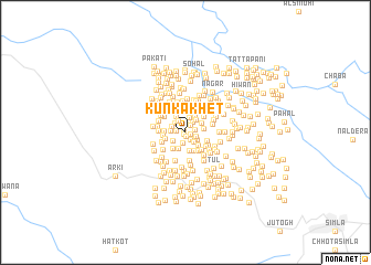
Kūn ka Khet (India)Kūn ka Khet is a town in India. An overview map of the region around Kūn ka Khet is displayed below.
regional and 3d topo map of Kūn ka Khet, India ::
Kūn ka Khet airports ::
The nearest airport is IXC - Chandigarh, located 61.8 km south of Kūn ka Khet.
Other airports nearby include KUU - Kulu Kullu Manali (77.0 km north), LUH - Ludhiaha Ludhiana (109.5 km west), DED - Dehra Dun Dehradun (156.3 km south east), IXP - Pathankot (175.8 km north west), Nearby towns ::
Kufri (0.2km south west) //
Bhajyār (0.3km north west) //
Ghorap (0.3km south) //
Ghorap (0.4km east) //
Kaflag (0.8km north east) //
Binu (0.9km north) //
Dhago Thākurdwāra (0.9km south east) //
Ghātru (0.9km north west) //
Dhalot (0.8km west) //
Ranot (0.9km east) //
Ghāt (1.1km south) //
Halog (1.0km east) //
Giānchāri (1.1km south east) //
Bachhārag (1.2km north east) //
Tapākari (1.3km north west) //
Arlot (1.2km south east) //
Dagyāna (1.3km north west) //
Dadhog (1.5km north) //
Makri (1.3km west) //
Mākri (1.3km north west) //
Solag (1.4km south west) //
Tūn (1.5km north east) //
Purohi (1.7km south) //
Panog (1.6km south east) //
Karauri (1.6km east) //
Kareha (1.7km north east) //
Jamog (1.9km south) //
Rūg (1.8km north west) //
Pipliāhār (1.8km north east) //
[all distances 'as the bird flies' and approximate] 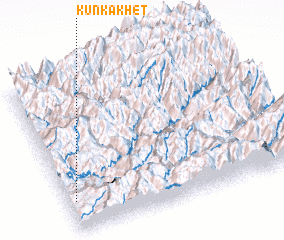 Places with similar names to Kūn ka Khet, India :: Disclaimer :: Information on this page comes without warranty of any kind |
||
|
Where is Kūn ka Khet? Elevation and coordinates ::
Latitude (lat): 31°11'24"N Longitude (lon): 77°1'51"E
Elevation (approx.): 1317m (map arrows pan, magnifying glasses zoom) |
||
|
Visiting Kūn ka Khet? Hotel/Accommodation ::
Book a hotel in Kūn ka Khet Travel Guide ::
Buy a travel guide for India rental cars ::
car rental offers GPS waypoint ::
download a GPX waypoint (PoI) of Kūn ka Khet for your GPS receiver
|
||