|
search place name
|
||
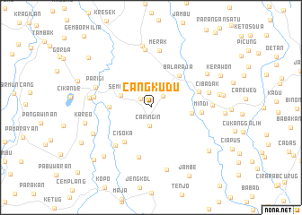
Cangkudu (Indonesia)Cangkudu is a town in Indonesia. An overview map of the region around Cangkudu is displayed below.
regional and 3d topo map of Cangkudu, Indonesia ::
Cangkudu airports ::
The nearest airport is CGK - Jakarta Soekarno Hatta Intl, located 27.4 km north east of Cangkudu.
Nearby towns ::
Gembong (1.6km north west) //
Sentul (2.0km north east) //
Caringin (2.3km south) //
Pasir Satu (3.5km north east) //
Sempur (4.0km west) //
Pasirnangka (5.1km east) //
Cerenang (5.2km west) //
Balaraja (5.3km north east) //
Cisoka (5.4km south west) //
Mindi (6.3km east) //
Bojong (6.3km east) //
Pasanggrahan (6.4km south) //
Salear (6.5km south west) //
Merak (7.1km north) //
Cikande-hilir (7.1km west) //
Leuweuwing-gede (7.2km north) //
Parigi (7.2km west) //
Cibadak (7.4km east) //
Bojong Dua (7.6km east) //
Ceplak (7.8km north) //
Banjar (7.7km west) //
Parakan (7.9km south west) //
Munjul (8.0km south) //
Sarongge (8.1km north east) //
Kareo (8.3km west) //
Cidahu (8.4km south west) //
Pabuaran (8.7km east) //
Tiga Raksa (8.9km south east) //
Kerawon (9.5km north east) //
[all distances 'as the bird flies' and approximate] 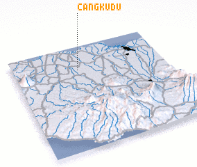 Places with similar names to Cangkudu, Indonesia ::
// Kaongkod (PH)
// KuNgcoti (ZA)
// KuNgqutu (ZA)
// Kuangkot (TP)
// Konko Koto (GM)
// Konké Kodo (GN)
// Kongokoto (ML)
// Konkoukoutou (ML)
// Công Cô Ðô (VN)
// Kong Cut (VN)
Disclaimer :: Information on this page comes without warranty of any kind |
||
|
Where is Cangkudu? Elevation and coordinates ::
Latitude (lat): 6°13'40"S Longitude (lon): 106°25'48"E
Elevation (approx.): 32m (map arrows pan, magnifying glasses zoom) |
||
|
Visiting Cangkudu? Hotel/Accommodation ::
Book a hotel in Cangkudu Travel Guide ::
Buy a travel guide for Indonesia rental cars ::
car rental offers GPS waypoint ::
download a GPX waypoint (PoI) of Cangkudu for your GPS receiver
|
||