|
search place name
|
||
Gambang (Jawa Tengah, Indonesia)Gambang is a town in the Jawa Tengah region of Indonesia. An overview map of the region around Gambang is displayed below.
regional and 3d topo map of Gambang, Indonesia ::
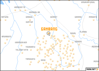
Nearby towns ::
Ringin Lor (0.7km east) //
Ringin Kidul (0.9km south east) //
Prigi (1.4km east) //
Ngaluran (1.8km east) //
Cangkring (2.0km west) //
Lenjet (2.2km south east) //
Pepe (2.5km south west) //
Curug (2.6km south west) //
Mintreng (3.1km south east) //
Lobang Lor (3.3km south west) //
Mintreng Dua (3.3km south east) //
Depok (3.3km south west) //
Batur (3.5km south) //
Sekarpetak (3.7km south east) //
Polaman (3.9km south) //
Dempel (4.1km south east) //
Mlatiponcol (4.2km south east) //
Delok (4.2km south east) //
Janggan (4.4km south) //
Kalisari (4.5km south west) //
Polaman (4.6km south) //
Plosorejo (4.5km west) //
Tergoso (4.7km south) //
Mlati (4.7km south east) //
Kalitelon (4.9km south west) //
Mijen Barat (5.0km south east) //
Pranten (5.0km south) //
Pilang Wetan (5.1km south) //
Tinanding (5.2km south) //
[all distances 'as the bird flies' and approximate] 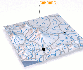 Places with similar names to Gambang, Indonesia ::
Disclaimer :: Information on this page comes without warranty of any kind |
||
|
Where is Gambang? Elevation and coordinates ::
Latitude (lat): 7°0'9"S Longitude (lon): 110°40'0"E
Elevation (approx.): 12m (map arrows pan, magnifying glasses zoom) |
||
|
Visiting Gambang? Hotel/Accommodation ::
Book a hotel in Gambang Travel Guide ::
Buy a travel guide for Indonesia rental cars ::
car rental offers GPS waypoint ::
download a GPX waypoint (PoI) of Gambang for your GPS receiver
|
||