|
search place name
|
||
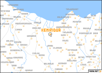
Kemiri Dua (Indonesia)Kemiri Dua is a town in Indonesia. An overview map of the region around Kemiri Dua is displayed below.
regional and 3d topo map of Kemiri Dua, Indonesia ::
Kemiri Dua airports ::
The nearest airport is CGK - Jakarta Soekarno Hatta Intl, located 20.9 km east of Kemiri Dua.
Nearby towns ::
Santri Satu (1.8km south) //
Kendal (2.2km north) //
Lontar Satu (3.3km north west) //
Jambu (4.3km south) //
Guna (4.5km east) //
Buniayu (5.2km south west) //
Pajamuran (5.3km west) //
Rancailat (5.3km south west) //
Kampunggunung (5.4km north east) //
Bakung Satu (5.5km west) //
Cilongok (5.7km south east) //
Pasilian (5.7km west) //
Rajeg (5.8km south east) //
Tanjakan (6.0km east) //
Mauk (6.2km north east) //
Kronjo (6.4km north west) //
Rarangan Satu (6.5km south east) //
Gandu (6.6km south east) //
Jungkal (6.9km east) //
Gandaria (7.2km west) //
Banununggul (7.3km south east) //
Ketapang (7.4km north east) //
Tegalkunir Lot (7.5km north east) //
Palelangan (7.6km north east) //
Merak (8.5km south west) //
Jati (8.5km east) //
Ceplak (9.0km south west) //
Putat (9.0km south east) //
Leuweuwing-gede (9.2km south west) //
[all distances 'as the bird flies' and approximate] 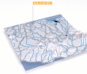 Places with similar names to Kemiri Dua, Indonesia ::
Disclaimer :: Information on this page comes without warranty of any kind |
||
|
Where is Kemiri Dua? Elevation and coordinates ::
Latitude (lat): 6°5'40"S Longitude (lon): 106°28'11"E
Elevation (approx.): 7m (map arrows pan, magnifying glasses zoom) |
||
|
Visiting Kemiri Dua? Hotel/Accommodation ::
Book a hotel in Kemiri Dua Travel Guide ::
Buy a travel guide for Indonesia rental cars ::
car rental offers GPS waypoint ::
download a GPX waypoint (PoI) of Kemiri Dua for your GPS receiver
|
||