|
search place name
|
||
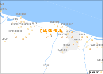
Meukopuue (Indonesia)Meukopuue is a town in Indonesia. An overview map of the region around Meukopuue is displayed below.
regional and 3d topo map of Meukopuue, Indonesia ::
Meukopuue airports ::
The nearest airport is BTJ - Banda Aceh Sultan Iskandarmuda, located 96.3 km west of Meukopuue.
Nearby towns ::
Menasah Krueng (1.4km west) //
Meukorumpuet (1.8km west) //
Menasah Baro (2.3km north west) //
Canealoih (3.7km east) //
Glecut (4.1km north west) //
Meukobrawang (4.1km north east) //
Geuteng (4.1km north east) //
Meureudu (4.6km north east) //
Meuraksa (4.6km north) //
Masjidmadinah (4.7km north east) //
Buaugan (5.2km north east) //
Reuleuet (5.5km east) //
Ulim (6.1km east) //
Masjidulimbaroh (6.3km north east) //
Meukobuene (6.7km north east) //
Pohroh (6.7km south east) //
Aluesane (6.8km south east) //
Tanjong (7.4km east) //
Paya (7.4km north west) //
Menasah Rusip (7.5km west) //
Jurongara (7.6km east) //
Menasah Blangasai (8.1km west) //
Teuenmanah (8.3km north west) //
Pangwabaroh (8.3km north west) //
Culeegle (8.4km east) //
Peudue (9.1km west) //
[all distances 'as the bird flies' and approximate] 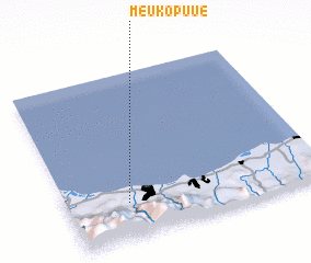 Places with similar names to Meukopuue, Indonesia ::
Disclaimer :: Information on this page comes without warranty of any kind |
||
|
Where is Meukopuue? Elevation and coordinates ::
Latitude (lat): 5°13'0"N Longitude (lon): 96°14'0"E
Elevation (approx.): 15m (map arrows pan, magnifying glasses zoom) |
||
|
Visiting Meukopuue? Hotel/Accommodation ::
Book a hotel in Meukopuue Travel Guide ::
Buy a travel guide for Indonesia rental cars ::
car rental offers GPS waypoint ::
download a GPX waypoint (PoI) of Meukopuue for your GPS receiver
|
||