|
search place name
|
||
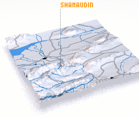
Shamaudin (Kökshetaū, Kazakhstan)Shamaudin is a town in the Kökshetaū region of Kazakhstan. An overview map of the region around Shamaudin is displayed below.
regional and 3d topo map of Shamaudin, Kazakhstan ::

Shamaudin airports ::
The nearest airport is ALA - Alma-ata Almaty, located 110.6 km west of Shamaudin.
Nearby towns ::
 Places with similar names to Shamaudin, Kazakhstan ::
// Shāh Meydān (IR)
// Shāmdīn (PK)
// Shambūţīn (SY)
// Chimotane (MZ)
// Chemaudin (FR)
// Cha-mou-tan (TW)
// Chom Town (LR)
// Chaomidian (CN)
// Chuimatan (CN)
// Shimotono (JP)
Disclaimer :: Information on this page comes without warranty of any kind |
||
|
Where is Shamaudin? Elevation and coordinates ::
Latitude (lat): 43°32'0"N Longitude (lon): 78°23'0"E
Elevation (approx.): 756m (map arrows pan, magnifying glasses zoom) |
||
|
Visiting Shamaudin? Hotel/Accommodation ::
Book a hotel in Shamaudin Travel Guide ::
Buy a travel guide for Kazakhstan rental cars ::
car rental offers GPS waypoint ::
download a GPX waypoint (PoI) of Shamaudin for your GPS receiver
|
||