|
search place name
|
||
Chemaudin (Franche-Comté, France)Chemaudin is a town in the Franche-Comté region of France. An overview map of the region around Chemaudin is displayed below.
regional and 3d topo map of Chemaudin, France ::

Chemaudin airports ::
The nearest airport is DLE - Dole Tavaux, located 40.9 km south west of Chemaudin.
Other airports nearby include DIJ - Dijon Longvic (61.6 km west), XCD - Chalon Champforgeuil (93.0 km south west), GVA - Geneva Cointrin (110.0 km south), QNJ - Annemasse (117.3 km south), Nearby towns ::
Grandfontaine (1.9km south) //
Vaux-lès-Prés (2.2km north west) //
Franois (3.1km north east) //
Mazerolles-le-Salin (3.1km north west) //
Dannemarie-sur-Crête (3.1km south west) //
Champagney (3.9km north) //
Champvans-lès-Moulins (3.9km north) //
Pouilley-les-Vignes (4.5km north east) //
Serre-lès-Sapins (4.5km north east) //
Montferrand-le-Château (4.5km south east) //
Velesmes-Essarts (4.5km south west) //
Thoraise (5.6km south) //
Villers-Buzon (4.2km north west) //
Torpes (5.7km south) //
Pouilley-Français (4.2km south west) //
Noironte (5.7km north) //
Audeux (5.7km north) //
Rancenay (5.3km south east) //
Chaucenne (7.4km north) //
Boussières (7.4km south) //
Pelousey (7.5km north) //
Corcondray (5.4km west) //
Avanne (5.4km east) //
Aveney (5.4km east) //
Busy (6.7km south east) //
Routelle (6.7km south west) //
Placey (6.7km north west) //
Vorges-les-Pins (7.8km south) //
Larnod (6.3km south east) //
[all distances 'as the bird flies' and approximate] 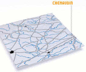 Places with similar names to Chemaudin, France ::
// Shamaudin (KZ)
// Shāh Meydān (IR)
// Shāmdīn (PK)
// Shambūţīn (SY)
// Chimotane (MZ)
// Cha-mou-tan (TW)
// Chom Town (LR)
// Chaomidian (CN)
// Chuimatan (CN)
// Shimotono (JP)
Disclaimer :: Information on this page comes without warranty of any kind |
||
|
Where is Chemaudin? Elevation and coordinates ::
Latitude (lat): 47°13'0"N Longitude (lon): 5°54'0"E
Elevation (approx.): 277m (map arrows pan, magnifying glasses zoom) |
||
|
Visiting Chemaudin? Hotel/Accommodation ::
Book a hotel in Chemaudin Travel Guide ::
Buy a travel guide for France rental cars ::
car rental offers GPS waypoint ::
download a GPX waypoint (PoI) of Chemaudin for your GPS receiver
|
||