|
search place name
|
||
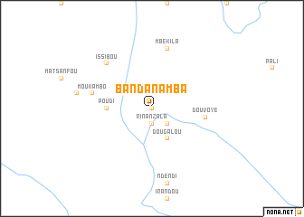
Banda Namba (Nyanga, Gabon)Banda Namba is a town in the Nyanga region of Gabon. An overview map of the region around Banda Namba is displayed below.
regional and 3d topo map of Banda Namba, Gabon ::
Banda Namba airports ::
The nearest airport is PNR - Pointe-noire Pointe Noire, located 190.9 km south of Banda Namba.
Other airports nearby include MVB - Franceville Mvengue (250.7 km north east), Nearby towns ::
Yongo (0.0km north) //
Rinanzala (1.9km south) //
Kamba (2.6km south east) //
Dougalou (4.1km south east) //
Poudi (5.6km west) //
Douvoye (6.7km east) //
Moukambo (7.6km west) //
Boudiombi (7.6km west) //
Mbékila (7.6km north) //
Issibou (7.9km north west) //
[all distances 'as the bird flies' and approximate] 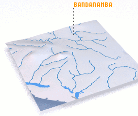 Places with similar names to Banda Namba, Gabon ::
// Ban Daen Mi (TH)
// Ban Dan Mai (TH)
// Ban Din Mo (TH)
// Ban Don I Mae (TH)
// Ban Don Mo (TH)
// Ban Don Moei (TH)
// Ban Don Mu (TH)
// Ban Don Mui (TH)
// Ban Don Mui (TH)
// Ban Na Don Mai (TH)
Disclaimer :: Information on this page comes without warranty of any kind |
||
|
Where is Banda Namba? Elevation and coordinates ::
Latitude (lat): 3°6'0"S Longitude (lon): 11°42'0"E
Elevation (approx.): 154m (map arrows pan, magnifying glasses zoom) |
||
|
Visiting Banda Namba? Hotel/Accommodation ::
Book a hotel in Banda Namba Travel Guide ::
Buy a travel guide for Gabon rental cars ::
car rental offers GPS waypoint ::
download a GPX waypoint (PoI) of Banda Namba for your GPS receiver
|
||