|
search place name
|
||
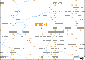
Atechem (Ghana)Atechem is a town in Ghana. An overview map of the region around Atechem is displayed below.
regional and 3d topo map of Atechem, Ghana ::
Atechem airports ::
The nearest airport is TKD - Takoradi, located 45.4 km south west of Atechem.
Other airports nearby include ACC - Accra Kotoka Intl (154.4 km east), Nearby towns ::
Nsuyena (1.9km south) //
Kwesibawnakrom (1.9km north) //
Abukrom (4.1km south west) //
Jerusalem (4.1km south east) //
Esiako (4.1km south east) //
Bomodin (5.6km north) //
Gwira (5.5km east) //
Warababa (5.9km south) //
Huananaoba (6.7km north east) //
Abrawdiwurem (6.7km south west) //
Ejinasi (6.7km north east) //
Mpehin (7.6km south) //
Akutuasi (7.6km north) //
Odumasi (7.6km south) //
Abrem Agona (7.6km east) //
Hemang (7.6km west) //
Efumkrom (7.6km east) //
Hiawa (7.8km south east) //
Awunakrom (7.8km north east) //
Anyoum (7.8km south west) //
Edumtu (8.3km south west) //
Amawafur (8.3km south east) //
Bremang (8.3km south east) //
Dompin (8.3km north east) //
Humakromua (9.3km north east) //
Dabri (9.3km south east) //
Ntsirimang (10.5km south east) //
[all distances 'as the bird flies' and approximate] 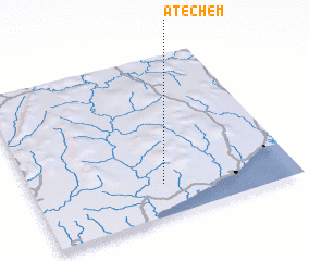 Places with similar names to Atechem, Ghana ::
// Adichuem (GH)
// Atechem (GH)
// Ādī Chʼemo (ET)
// Ādī Chʼemo (ET)
// Ātʼēchʼama (ET)
// Aït Chama (MA)
// Atcham (GB)
// Ādī Shuma (ER)
Disclaimer :: Information on this page comes without warranty of any kind |
||
|
Where is Atechem? Elevation and coordinates ::
Latitude (lat): 5°12'0"N Longitude (lon): 1°30'0"W
Elevation (approx.): 74m (map arrows pan, magnifying glasses zoom) |
||
|
Visiting Atechem? Hotel/Accommodation ::
Book a hotel in Atechem Travel Guide ::
Buy a travel guide for Ghana rental cars ::
car rental offers GPS waypoint ::
download a GPX waypoint (PoI) of Atechem for your GPS receiver
|
||