|
search place name
|
||
Xochitecatitla (Tlaxcala, Mexico)Xochitecatitla is a town in the Tlaxcala region of Mexico. An overview map of the region around Xochitecatitla is displayed below.
regional and 3d topo map of Xochitecatitla, Mexico ::

Xochitecatitla airports ::
The nearest airport is PBC - Puebla Hermanos Serdan Intl, located 9.1 km south of Xochitecatitla.
Other airports nearby include TXA - Tlaxcala (38.2 km north east), MEX - Mexico City Licenciado Benito Juarez Intl (78.5 km west), PCA - Pachuca Ingeniero Juan Guillermo Villasana (103.1 km north west), CVJ - Cuernavaca General Mariano Matamoros (105.5 km south west), Nearby towns ::
Tenanyecac (1.4km north west) //
Santa Elena (1.8km south) //
San Miguel del Milagro (2.2km east) //
Capula (2.6km east) //
Santiago Michac (3.3km south east) //
Guadalupe Victoria (3.2km east) //
Xalmimilulco (3.9km south west) //
Segura (4.1km south east) //
Nativitas (4.0km east) //
Santa María Moyotzingo (5.0km west) //
Teacalco (5.0km east) //
Santa Inés Tecuexcomac (5.4km north east) //
Los Pinos (5.6km south east) //
Tepetitla (5.8km north west) //
San Baltasar Temaxcalac (5.7km north west) //
La Concordia (5.7km east) //
Santa Clara (6.0km south east) //
San Mateo Ayecac (6.0km north west) //
Santa Apolonia Teacalco (5.8km east) //
Xiloxochitla (6.3km north east) //
San Miguel Analco (6.7km south) //
Tetlatlahuaca (6.6km east) //
Tequixquitla (7.1km north) //
Nopalucan (7.1km north) //
Santa Isabel (6.9km east) //
Tenango (7.0km east) //
Villatla (7.3km north west) //
Luis Echeverría (7.4km north east) //
Santa Ana Portales (7.4km south east) //
[all distances 'as the bird flies' and approximate] 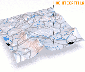 Places with similar names to Xochitecatitla, Mexico :: Disclaimer :: Information on this page comes without warranty of any kind |
||
|
Where is Xochitecatitla? Elevation and coordinates ::
Latitude (lat): 19°14'20"N Longitude (lon): 98°21'15"W
Elevation (approx.): 2214m (map arrows pan, magnifying glasses zoom) |
||
|
Visiting Xochitecatitla? Hotel/Accommodation ::
Book a hotel in Xochitecatitla Travel Guide ::
Buy a travel guide for Mexico rental cars ::
car rental offers GPS waypoint ::
download a GPX waypoint (PoI) of Xochitecatitla for your GPS receiver
|
||