|
search place name
|
||
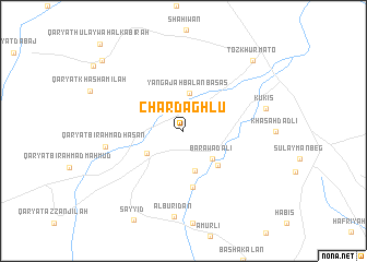
Chārdāghlū (Şalāḩ ad Dīn, Iraq)Chārdāghlū is a town in the Şalāḩ ad Dīn region of Iraq. An overview map of the region around Chārdāghlū is displayed below.
regional and 3d topo map of Chārdāghlū, Iraq ::
Nearby towns ::
Yangajah Bālān Basās (3.9km north) //
Barāwaḑalī (3.7km south east) //
Qarah Nāz (4.2km south) //
Bustāmlī (3.8km south west) //
Ālbū Ḩasan (4.5km south east) //
Pīr Aḩmadlī (5.8km south) //
Qaryat Bīr Aḩmad Ḩasan (6.8km west) //
Kukis (7.3km east) //
Ālbū Riḑān (8.8km south) //
Tozkhurmato (9.2km north east) //
Chūtah Ḩulaywah (9.9km north west) //
Qaryat Ḩulaywah al Kabīrah (11.3km north west) //
[all distances 'as the bird flies' and approximate] 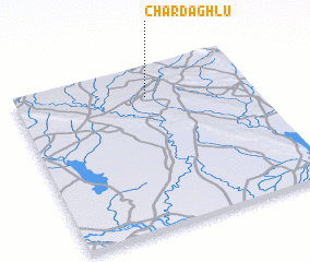 Places with similar names to Chārdāghlū, Iraq ::
Disclaimer :: Information on this page comes without warranty of any kind |
||
|
Where is Chārdāghlū? Elevation and coordinates ::
Latitude (lat): 34°49'7"N Longitude (lon): 44°33'30"E
Elevation (approx.): 182m (map arrows pan, magnifying glasses zoom) |
||
|
Visiting Chārdāghlū? Hotel/Accommodation ::
Book a hotel in Chārdāghlū Travel Guide ::
Buy a travel guide for Iraq rental cars ::
car rental offers GPS waypoint ::
download a GPX waypoint (PoI) of Chārdāghlū for your GPS receiver
|
||