|
search place name
|
||
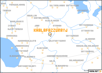
Khalaf az Zurayj (Dhī Qār, Iraq)Khalaf az Zurayj is a town in the Dhī Qār region of Iraq. An overview map of the region around Khalaf az Zurayj is displayed below.
regional and 3d topo map of Khalaf az Zurayj, Iraq ::
Khalaf az Zurayj airports ::
The nearest airport is BSR - Basrah Intl, located 147.3 km south east of Khalaf az Zurayj.
Other airports nearby include ABD - Abadan (204.6 km south east), KWI - Kuwait Intl (269.7 km south east), Nearby towns ::
Qal‘at Sayyid Amīn (3.1km south east) //
Khalīl al Bāshā (3.0km north west) //
‘Aţramah (3.8km north east) //
Miz‘al al Ḩasan (5.1km north) //
Albū Yūsuf (5.7km south west) //
Jabr (5.4km north west) //
Ash Shufayjāt (6.7km south west) //
Shaţb al Manḩal (6.7km north west) //
Sayyid Ḩasan (6.8km east) //
Kharābat adh Dhahab (8.2km south) //
Muḩammad al ‘Ulayb (7.8km west) //
Ḩusayn ash Shāya (9.1km south) //
‘Abd Allāh (9.1km north west) //
Ālbū ‘Uwayd (10.5km south west) //
Ghudayr (10.8km south west) //
[all distances 'as the bird flies' and approximate] 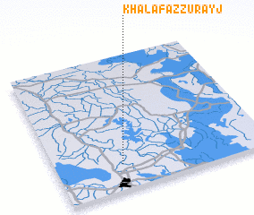 Places with similar names to Khalaf az Zurayj, Iraq :: Disclaimer :: Information on this page comes without warranty of any kind |
||
|
Where is Khalaf az Zurayj? Elevation and coordinates ::
Latitude (lat): 31°11'17"N Longitude (lon): 46°18'43"E
Elevation (approx.): 9m (map arrows pan, magnifying glasses zoom) |
||
|
Visiting Khalaf az Zurayj? Hotel/Accommodation ::
Book a hotel in Khalaf az Zurayj Travel Guide ::
Buy a travel guide for Iraq rental cars ::
car rental offers GPS waypoint ::
download a GPX waypoint (PoI) of Khalaf az Zurayj for your GPS receiver
|
||