|
search place name
|
||
Salmās (Arbīl, Iraq)Salmās is a town in the Arbīl region of Iraq. An overview map of the region around Salmās is displayed below.
regional and 3d topo map of Salmās, Iraq ::

Nearby towns ::
Khaznah (4.6km south) //
Gazūk (4.6km south) //
Koma Shin (4.4km north east) //
Maḩsānawah (4.6km south west) //
Qarah Bīsh (5.3km north west) //
Sīrmīh (4.9km north west) //
Kardah (5.9km south west) //
Makhmūr (6.0km north east) //
Yan (6.7km south) //
Rāḩah (5.8km east) //
Chāz-Khān (5.8km east) //
Gumashīn (7.3km south) //
Shūrpalka (6.5km west) //
Shōrah Balkah (6.6km west) //
Sai Kurd Kān (9.4km south) //
Muḩammad ‘Umrān (9.4km south east) //
[all distances 'as the bird flies' and approximate] 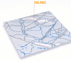 Places with similar names to Salmās, Iraq ::
// Zela Āmbesa (ER)
// Zell am Moos (AT)
// Zell am See (AT)
// Solms (DE)
// Salamís (GR)
// Solomós (GR)
// Salemas (PT)
// Selmes (PT)
// Sulmice (PL)
// Złe Mięso (PL)
Disclaimer :: Information on this page comes without warranty of any kind |
||
|
Where is Salmās? Elevation and coordinates ::
Latitude (lat): 35°43'55"N Longitude (lon): 43°32'25"E
Elevation (approx.): 245m (map arrows pan, magnifying glasses zoom) |
||
|
Visiting Salmās? Hotel/Accommodation ::
Book a hotel in Salmās Travel Guide ::
Buy a travel guide for Iraq rental cars ::
car rental offers GPS waypoint ::
download a GPX waypoint (PoI) of Salmās for your GPS receiver
|
||