|
search place name
|
||
Bāshkand (Ostān-e Āz̄arbāyjān-e Gharbī, Iran)Bāshkand is a town in the Ostān-e Āz̄arbāyjān-e Gharbī region of Iran. An overview map of the region around Bāshkand is displayed below.
regional and 3d topo map of Bāshkand, Iran ::

Bāshkand airports ::
The nearest airport is VAN - Van, located 131.6 km south west of Bāshkand.
Other airports nearby include TBZ - Tabriz Intl (212.7 km south east), Nearby towns ::
Mehdī Bolāghī (1.0km south) //
Mārākūmī (2.3km north west) //
Gajūt (2.3km east) //
Qūrī Bolāgh (3.5km south east) //
Sārem Sākhlū (3.7km west) //
Jīqjīq (4.4km south west) //
Sīrān (4.3km north west) //
Moşţafá Qal‘ehsī (6.6km south) //
Nāyeb Kandī (6.1km south east) //
Bölücek (7.0km north west) //
Gürbulak (7.3km north) //
Tāzehkand (6.1km east) //
Parākhowdīk (7.4km south east) //
Kūsaj (7.4km south east) //
Gol Mūrs (8.2km south) //
Moḩammad Kandī (8.4km south east) //
Kargakonmaz (9.0km north west) //
Bāghcheh Jūq (9.7km south east) //
Shādlū-ye ‘Olyā (10.4km south west) //
[all distances 'as the bird flies' and approximate] 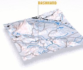 Places with similar names to Bāshkand, Iran ::
// Bāsh Kand (IR)
// Bāsh Kand (IR)
// Batiakaunda (CD)
// Bichkunda (IN)
// Bash-Kaindy (KG)
// Beshkent (KG)
// Beshkent (UZ)
// Bīch Kund (PK)
// Beshkent (TJ)
// Bishkent (TJ)
Disclaimer :: Information on this page comes without warranty of any kind |
||
|
Where is Bāshkand? Elevation and coordinates ::
Latitude (lat): 39°21'4"N Longitude (lon): 44°20'43"E
Elevation (approx.): 1469m (map arrows pan, magnifying glasses zoom) |
||
|
Visiting Bāshkand? Hotel/Accommodation ::
Book a hotel in Bāshkand Travel Guide ::
Buy a travel guide for Iran rental cars ::
car rental offers GPS waypoint ::
download a GPX waypoint (PoI) of Bāshkand for your GPS receiver
|
||