|
search place name
|
||
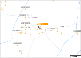
Beynābād (Yazd, Iran)Beynābād is a town in the Yazd region of Iran. An overview map of the region around Beynābād is displayed below.
regional and 3d topo map of Beynābād, Iran ::
Beynābād airports ::
The nearest airport is AZD - Yazd Shahid Sadooghi, located 67.9 km north of Beynābād.
Other airports nearby include SYZ - Shiraz Shahid Dastghaib Intl (243.5 km south west), Nearby towns ::
Manşūrī (0.5km east) //
Vazīrī (0.5km east) //
Shāhābād (0.5km east) //
Moḩammadābād (0.5km east) //
Kheyrābād (0.5km east) //
Najafābād (1.1km north) //
Jahānābād (1.1km west) //
Bakh (1.6km south east) //
Bozgābād (1.8km west) //
Ra‘dābād (2.1km south) //
Kārīz-e Bālā (2.1km east) //
'ojjatābād (4.0km west) //
Kārīz-e Pā'īn (4.2km east) //
Kamālābād (4.7km south west) //
Fakhrābād (5.4km north west) //
Reshkū'īyeh (5.9km west) //
'oseynābād (6.1km west) //
Ashkū'īyeh (6.2km west) //
Noşratābād (6.8km east) //
Ernān (6.9km east) //
Dowlatābād (7.5km west) //
Mazra‘eh-ye Mālek (8.1km north west) //
Dastgerd (7.8km west) //
[all distances 'as the bird flies' and approximate] 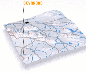 Places with similar names to Beynābād, Iran ::
// Baunu” Bata” (PH)
// Ban Ai Bu Tae (TH)
// Ban Ba Do (TH)
// Ban Boet (TH)
// Ban Boet (TH)
// Ban Bo It (TH)
// Ban Bot (TH)
// Ban Bot (TH)
// Ban Bot (TH)
// Ban Bo To (TH)
Disclaimer :: Information on this page comes without warranty of any kind |
||
|
Where is Beynābād? Elevation and coordinates ::
Latitude (lat): 31°19'1"N Longitude (lon): 54°4'42"E
Elevation (approx.): 2006m (map arrows pan, magnifying glasses zoom) |
||
|
Visiting Beynābād? Hotel/Accommodation ::
Book a hotel in Beynābād Travel Guide ::
Buy a travel guide for Iran rental cars ::
car rental offers GPS waypoint ::
download a GPX waypoint (PoI) of Beynābād for your GPS receiver
|
||