|
search place name
|
||
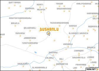
Dūshānlū (Iran)Dūshānlū is a town in Iran. An overview map of the region around Dūshānlū is displayed below.
regional and 3d topo map of Dūshānlū, Iran ::
Dūshānlū airports ::
The nearest airport is TBZ - Tabriz Intl, located 142.2 km south west of Dūshānlū.
Other airports nearby include RAS - Rasht (219.4 km south east), Nearby towns ::
Ganeh Lūjeh (2.4km south east) //
Galasan Gūrasan (3.4km north west) //
Tāzeh Kand-e Arshaq (4.7km north east) //
Chakhmāq Chokūr (5.7km east) //
Nūr Kandī (7.3km south) //
Jabbār Kandī (6.1km west) //
Qoldor Kohlī (6.1km west) //
Gūdeh Kahrīz (6.1km east) //
Chang Darreh (7.0km south east) //
Kangarlū (6.9km south east) //
Yūsefkhān Kandī (6.9km south west) //
Shamsīr (7.4km east) //
Maẕāfeh (9.2km north) //
[all distances 'as the bird flies' and approximate] 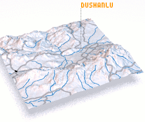 Places with similar names to Dūshānlū, Iran ::
// Taşhanlı (TR)
// Dūshānlū (IR)
// T'ou-ch'ien-liao (TW)
// T'ou-ch'ien-liao (TW)
// Tichenal (US)
// Tchinila (AO)
// Ta-shan-liao (TW)
Disclaimer :: Information on this page comes without warranty of any kind |
||
|
Where is Dūshānlū? Elevation and coordinates ::
Latitude (lat): 38°38'0"N Longitude (lon): 47°44'0"E
Elevation (approx.): 1128m (map arrows pan, magnifying glasses zoom) |
||
|
Visiting Dūshānlū? Hotel/Accommodation ::
Book a hotel in Dūshānlū Travel Guide ::
Buy a travel guide for Iran rental cars ::
car rental offers GPS waypoint ::
download a GPX waypoint (PoI) of Dūshānlū for your GPS receiver
|
||