|
search place name
|
||
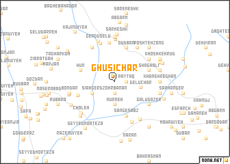
Ghusichār (Iran)Ghusichār is a town in Iran. An overview map of the region around Ghusichār is displayed below.
regional and 3d topo map of Ghusichār, Iran ::
Ghusichār airports ::
The nearest airport is KER - Kerman, located 109.0 km north of Ghusichār.
Nearby towns ::
Pāyţāq (1.6km east) //
Z̧ohrbanān (1.9km south) //
Murreh (3.7km south) //
Sīāh Gerd (3.7km south west) //
Gelūchār (3.8km east) //
Sang Sīāh (5.2km east) //
Shaghālī (5.2km east) //
Sang-e Sabz (5.8km south) //
Gudbān (5.8km north) //
Hūn (5.2km west) //
Gond-e Gāv (6.4km north) //
Qanāt-e Malek (5.7km south west) //
Bokhtīn (6.1km north east) //
Gudki (6.4km north east) //
Galū Gāzer (6.1km south east) //
Kalānī (6.4km north west) //
Mārān (6.6km north) //
Esfenā (6.9km north) //
Gerdū Selū (7.0km north) //
Morrīn (7.0km south) //
Eshkanūʼīyeh (7.2km north) //
Bāgh-e Ebrāhīm (7.1km south east) //
Khāneh Reghān (6.5km east) //
Āl Ghīās̄ī (7.4km north) //
Chāleh (7.0km south west) //
Bāghū (6.7km east) //
Bondar (6.7km west) //
Qalandarān (6.7km east) //
Sar Meshk (7.8km north) //
[all distances 'as the bird flies' and approximate] 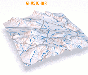
Disclaimer :: Information on this page comes without warranty of any kind |
||
|
Where is Ghusichār? Elevation and coordinates ::
Latitude (lat): 29°18'0"N Longitude (lon): 57°6'0"E
Elevation (approx.): 2430m (map arrows pan, magnifying glasses zoom) |
||
|
Visiting Ghusichār? Hotel/Accommodation ::
Book a hotel in Ghusichār Travel Guide ::
Buy a travel guide for Iran rental cars ::
car rental offers GPS waypoint ::
download a GPX waypoint (PoI) of Ghusichār for your GPS receiver
|
||