|
search place name
|
||
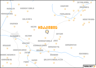
Ḩājjīābād (Lorestān, Iran)Ḩājjīābād is a town in the Lorestān region of Iran. An overview map of the region around Ḩājjīābād is displayed below.
regional and 3d topo map of Ḩājjīābād, Iran ::
Ḩājjīābād airports ::
The nearest airport is QMJ - Masjed Soleiman Shahid Asyaee, located 163.1 km south of Ḩājjīābād.
Nearby towns ::
Khākābād (0.9km north) //
Deh Sefīd (1.7km south west) //
Asmāhūr-e Bālā (3.9km south) //
Kāykān (4.2km south east) //
Gāygān (4.1km east) //
Jowz (4.6km south east) //
Mazrā‘ (4.9km west) //
‘Azīzābād (6.2km south west) //
Esmāhūr-e Pā'īn (6.2km south west) //
Sang-e Sefīd (6.5km south) //
Dūzān (6.9km south) //
Keznār (6.5km west) //
Qareh Kahrīz (7.7km north) //
Bād Bād (7.9km south) //
Gol-e Zard (8.2km north west) //
Jūshān (8.6km south west) //
Farajābād (8.8km north east) //
Howzīān (8.5km south west) //
‘Alīābād (8.7km north east) //
Zazam (10.7km south west) //
[all distances 'as the bird flies' and approximate] 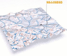 Places with similar names to Ḩājjīābād, Iran ::
Disclaimer :: Information on this page comes without warranty of any kind |
||
|
Where is Ḩājjīābād? Elevation and coordinates ::
Latitude (lat): 33°24'3"N Longitude (lon): 49°48'36"E
Elevation (approx.): 2291m (map arrows pan, magnifying glasses zoom) |
||
|
Visiting Ḩājjīābād? Hotel/Accommodation ::
Book a hotel in Ḩājjīābād Travel Guide ::
Buy a travel guide for Iran rental cars ::
car rental offers GPS waypoint ::
download a GPX waypoint (PoI) of Ḩājjīābād for your GPS receiver
|
||