|
search place name
|
||
Joharānjey (Eşfahān, Iran)Joharānjey is a town in the Eşfahān region of Iran. An overview map of the region around Joharānjey is displayed below.
regional and 3d topo map of Joharānjey, Iran ::
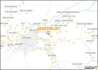
Nearby towns ::
Rārān-e Qohāb (0.6km east) //
Jowharān (0.8km north) //
Lafdān (1.0km south east) //
Kangāz (1.7km south) //
Haftdān (1.8km north west) //
Abar (2.4km south west) //
Khowrāskān (2.7km south) //
Gīān (2.6km east) //
Khorāskān (3.1km south) //
Andevān (2.9km north east) //
Būzān (3.0km south west) //
Maḩall-e Emāmzādeh Esḩāg (2.7km west) //
Semsūr (3.2km south east) //
Hasteh (3.4km north) //
Kerdābād (3.7km south) //
Jelvān (3.8km north) //
Arzenān (3.8km north) //
Moḩammadābād (3.5km south east) //
Esfahr Dezh (4.0km south) //
Bahārān (3.5km east) //
Mowlānā Şefī (4.2km south east) //
Rādān (4.3km south east) //
‘Īsūn (4.6km south) //
Maḩalleh-ye Kāshefī (4.0km west) //
Maḩalleh-ye Pā'īn-e Darvāzeh (4.0km west) //
Ostovārchī (4.7km north) //
Mūrnān (4.1km north east) //
Qal‘eh-ye Bertīānchī (4.8km south) //
Sūdān (4.3km north west) //
[all distances 'as the bird flies' and approximate] 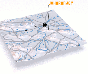 Places with similar names to Joharānjey, Iran ::
// Jhoranjo (PK)
Disclaimer :: Information on this page comes without warranty of any kind |
||
|
Where is Joharānjey? Elevation and coordinates ::
Latitude (lat): 32°40'35"N Longitude (lon): 51°44'51"E
Elevation (approx.): 1558m (map arrows pan, magnifying glasses zoom) |
||
|
Visiting Joharānjey? Hotel/Accommodation ::
Book a hotel in Joharānjey Travel Guide ::
Buy a travel guide for Iran rental cars ::
car rental offers GPS waypoint ::
download a GPX waypoint (PoI) of Joharānjey for your GPS receiver
|
||