|
search place name
|
||
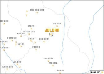
Joldar (Kermān, Iran)Joldar is a town in the Kermān region of Iran. An overview map of the region around Joldar is displayed below.
regional and 3d topo map of Joldar, Iran ::
Joldar airports ::
The nearest airport is BND - Bandar Abbass Intl, located 144.3 km west of Joldar.
Other airports nearby include KHS - Khasab (199.5 km south west), RKT - Ras Al Khaimah Intl (263.0 km south west), Nearby towns ::
Bonkaram (3.0km south west) //
Mīr Anjīr (4.3km north) //
Bāgh Bavārk (5.9km west) //
Patkān (6.8km south west) //
Sangar (6.8km west) //
Neyvū (7.0km west) //
Sarzeh (7.3km north west) //
Teyūpā'īzeg (7.5km west) //
Geshūlīk (8.8km south) //
Mogh Moḩammad (10.1km north west) //
[all distances 'as the bird flies' and approximate] 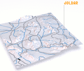 Places with similar names to Joldar, Iran ::
// Gēldara (IQ)
// Hjalteyri (IS)
// Geltra (TD)
// Jalotra (IN)
// Jaltara (LK)
// Gelī Dar (IR)
// Gelū Darreh (IR)
// Gīldīr (IR)
// Jalū Darreh (IR)
// Jolow Dār (IR)
Disclaimer :: Information on this page comes without warranty of any kind |
||
|
Where is Joldar? Elevation and coordinates ::
Latitude (lat): 27°15'50"N Longitude (lon): 57°50'2"E
Elevation (approx.): 679m (map arrows pan, magnifying glasses zoom) |
||
|
Visiting Joldar? Hotel/Accommodation ::
Book a hotel in Joldar Travel Guide ::
Buy a travel guide for Iran rental cars ::
car rental offers GPS waypoint ::
download a GPX waypoint (PoI) of Joldar for your GPS receiver
|
||