|
search place name
|
||
Khvoshāb (Kordestān, Iran)Khvoshāb is a town in the Kordestān region of Iran. An overview map of the region around Khvoshāb is displayed below.
regional and 3d topo map of Khvoshāb, Iran ::

Khvoshāb airports ::
The nearest airport is SDG - Sanandaj, located 96.2 km south west of Khvoshāb.
Other airports nearby include KSH - Bakhtaran Shahid Ashrafi Esfahani (185.4 km south), Nearby towns ::
Posht Darband (2.4km north east) //
Şalavātābād (4.0km north) //
‘Alī Badal (5.6km south) //
Alvand Qolī (6.3km south west) //
Kheyrābād (8.0km south) //
Qameshlū (8.0km south east) //
Gol Tappeh (8.7km north east) //
Cheshmeh Sangīn (9.5km north east) //
Qeyşeh (9.8km south west) //
[all distances 'as the bird flies' and approximate] 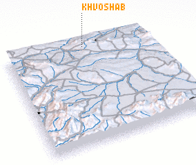 Places with similar names to Khvoshāb, Iran ::
// Khvosh Āb (IR)
// Khvosh Āb (IR)
// Khvosh Āb (IR)
// Khvoshāb (IR)
// Khvoshāb (IR)
// Khvoshāb (IR)
// Khvoshāb (IR)
// Khvoshāb (IR)
// Khvoshābeh (IR)
// Khvoshābeh (IR)
Disclaimer :: Information on this page comes without warranty of any kind |
||
|
Where is Khvoshāb? Elevation and coordinates ::
Latitude (lat): 35°59'0"N Longitude (lon): 47°34'0"E
Elevation (approx.): 1744m (map arrows pan, magnifying glasses zoom) |
||
|
Visiting Khvoshāb? Hotel/Accommodation ::
Book a hotel in Khvoshāb Travel Guide ::
Buy a travel guide for Iran rental cars ::
car rental offers GPS waypoint ::
download a GPX waypoint (PoI) of Khvoshāb for your GPS receiver
|
||