|
search place name
|
||
Moḩammad Valī Beyg (Khorāsān, Iran)Moḩammad Valī Beyg is a town in the Khorāsān region of Iran. An overview map of the region around Moḩammad Valī Beyg is displayed below.
regional and 3d topo map of Moḩammad Valī Beyg, Iran ::

Moḩammad Valī Beyg airports ::
The nearest airport is ASB - Ashkhabad Ashgabat, located 38.6 km north west of Moḩammad Valī Beyg.
Nearby towns ::
Jabbār (0.8km south west) //
Arbāb (0.8km south west) //
‘Avaẕ Moḩammad Beyg (1.6km west) //
Āmān Margān (1.9km south) //
Āşef (2.3km north west) //
Dūst Moḩammad Beyg (2.6km south east) //
Kara-Agach (3.2km north) //
Kizyl-Kemer (3.6km north west) //
Manysh (4.4km north east) //
Kyalʼ-Ata (4.1km east) //
Raḩmānqolī (8.3km south east) //
Bahādorkhān (8.2km south east) //
Darūngar (9.0km south east) //
Moḩammad Taqī Beyg (9.0km south east) //
Ḩasan Kadkhodā (8.5km south east) //
Gadūgānlū (9.2km south east) //
Ḩājj Qelīch Khān (9.7km south east) //
[all distances 'as the bird flies' and approximate] 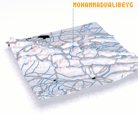 Places with similar names to Moḩammad Valī Beyg, Iran :: Disclaimer :: Information on this page comes without warranty of any kind |
||
|
Where is Moḩammad Valī Beyg? Elevation and coordinates ::
Latitude (lat): 37°41'21"N Longitude (lon): 58°35'18"E
Elevation (approx.): 763m (map arrows pan, magnifying glasses zoom) |
||
|
Visiting Moḩammad Valī Beyg? Hotel/Accommodation ::
Book a hotel in Moḩammad Valī Beyg Travel Guide ::
Buy a travel guide for Iran rental cars ::
car rental offers GPS waypoint ::
download a GPX waypoint (PoI) of Moḩammad Valī Beyg for your GPS receiver
|
||