|
search place name
|
||
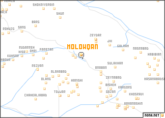
Molowqān (Khorāsān, Iran)Molowqān is a town in the Khorāsān region of Iran. An overview map of the region around Molowqān is displayed below.
regional and 3d topo map of Molowqān, Iran ::
Molowqān airports ::
The nearest airport is XBJ - Birjand, located 70.4 km north of Molowqān.
Nearby towns ::
Deh Mīān (1.5km west) //
Hashtūgān (2.3km north) //
Gelerg (2.0km north west) //
Tūt (4.5km south west) //
Ḩoseynābād-e Zeydar (4.6km north east) //
Anābān (4.5km south east) //
Ḩoseynābād (5.1km north east) //
Zeydar (5.1km north east) //
Afzalābād (5.0km south east) //
Estakhrak (5.5km south west) //
Kalāteh-ye Kadkhodā (5.8km south) //
Harīshī (5.8km south) //
Tall-e Khāk (6.1km south west) //
Fūlādābād-e Bālā (6.4km south) //
‘Alamābād (5.9km south west) //
Kalāteh-ye Bālā (6.4km south east) //
Māhānī (6.4km south west) //
Jīk (6.1km north east) //
Mas‘ūdī (7.5km south) //
Manşūrābād (7.5km south) //
Sūlākhān (6.5km east) //
Anārān (7.4km south east) //
Khorramī (7.3km south west) //
Mabādī-ye Pā'īn (7.0km south west) //
Kāskān (7.8km south) //
Darreh Eshgoft (8.1km south) //
Farāţān (7.1km west) //
Hanārū (8.1km south east) //
Zeynābād (7.9km south east) //
[all distances 'as the bird flies' and approximate] 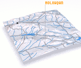 Places with similar names to Molowqān, Iran ::
Disclaimer :: Information on this page comes without warranty of any kind |
||
|
Where is Molowqān? Elevation and coordinates ::
Latitude (lat): 32°16'55"N Longitude (lon): 59°26'46"E
Elevation (approx.): 2106m (map arrows pan, magnifying glasses zoom) |
||
|
Visiting Molowqān? Hotel/Accommodation ::
Book a hotel in Molowqān Travel Guide ::
Buy a travel guide for Iran rental cars ::
car rental offers GPS waypoint ::
download a GPX waypoint (PoI) of Molowqān for your GPS receiver
|
||