|
search place name
|
||
Mūrdar (Kermān, Iran)Mūrdar is a town in the Kermān region of Iran. An overview map of the region around Mūrdar is displayed below.
regional and 3d topo map of Mūrdar, Iran ::

Mūrdar airports ::
The nearest airport is KER - Kerman, located 118.0 km south east of Mūrdar.
Nearby towns ::
Dar-e Sādegī (4.0km south east) //
Sheyk Shams (4.0km north west) //
Bāgh-e Pahn (4.9km north west) //
Bāgh-e Dar Mūrīn (5.6km north) //
Darpīdanūn (6.4km north east) //
Ḩūrkī (6.4km north east) //
Dar Khoshkī (6.0km north west) //
‘Abbāsābād (6.3km south west) //
Dar-e Gāvān (7.4km south) //
Āb Līshū (7.3km south west) //
Pābīdnān-e Bālā (7.2km south east) //
Ţoghr ol Jerd (8.1km south) //
Dar-e Zangalān (7.3km south east) //
Dar-e Kerū (7.3km south east) //
Darkarū (7.3km south east) //
Bāskūl (8.1km south east) //
Hamkār (8.1km north east) //
Cheshmeh-ye Baghal (7.3km north west) //
Posht Tang (8.4km north west) //
Esmā‘īlābād (9.8km north west) //
[all distances 'as the bird flies' and approximate] 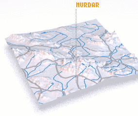 Places with similar names to Mūrdar, Iran ::
Disclaimer :: Information on this page comes without warranty of any kind |
||
|
Where is Mūrdar? Elevation and coordinates ::
Latitude (lat): 31°14'0"N Longitude (lon): 56°25'0"E
Elevation (approx.): 2685m (map arrows pan, magnifying glasses zoom) |
||
|
Visiting Mūrdar? Hotel/Accommodation ::
Book a hotel in Mūrdar Travel Guide ::
Buy a travel guide for Iran rental cars ::
car rental offers GPS waypoint ::
download a GPX waypoint (PoI) of Mūrdar for your GPS receiver
|
||