|
search place name
|
||
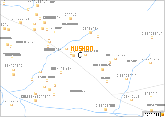
Mūshān (Khorāsān, Iran)Mūshān is a town in the Khorāsān region of Iran. An overview map of the region around Mūshān is displayed below.
regional and 3d topo map of Mūshān, Iran ::
Mūshān airports ::
The nearest airport is ASB - Ashkhabad Ashgabat, located 225.0 km north of Mūshān.
Nearby towns ::
Kalāteh Robāt (1.0km north east) //
‘Abbāsābād (1.9km north west) //
Dāneh (2.4km north west) //
Bāghshan (3.7km north west) //
Cheshmeh Khosrow (4.4km south east) //
Qal'eh Vazīr (4.4km south east) //
Ḩeshmatīyeh (5.0km south west) //
Chenārān (5.8km north east) //
Poshtkūhī (5.1km east) //
Gereyneh (6.2km north) //
Qareh Dāsh (5.5km west) //
Ḩarīmābād (6.8km north) //
Bāz-e Ḩeydar (6.1km east) //
Majdābād (7.4km north) //
`Alī Kūrī (7.0km south east) //
Nowbāhār (8.3km south) //
Ḩājjīābād (6.9km north west) //
Kārīz Now (7.1km north west) //
Sakhdar (7.8km north west) //
Sartalkh (7.6km north west) //
Fakhrābād (8.0km south west) //
Baghīsh (7.4km west) //
Ja‘farābād (9.0km north) //
‘Eşmatābād (8.3km south west) //
Jahānābād (9.0km south west) //
Moḩammadābād (9.3km south west) //
Kārīz Now (9.1km north west) //
Qadamgāh (9.3km north west) //
Ḩeşār (9.8km south west) //
[all distances 'as the bird flies' and approximate] 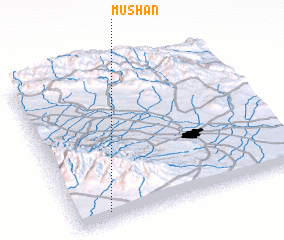 Places with similar names to Mūshān, Iran ::
Disclaimer :: Information on this page comes without warranty of any kind |
||
|
Where is Mūshān? Elevation and coordinates ::
Latitude (lat): 36°3'34"N Longitude (lon): 59°8'38"E
Elevation (approx.): 1335m (map arrows pan, magnifying glasses zoom) |
||
|
Visiting Mūshān? Hotel/Accommodation ::
Book a hotel in Mūshān Travel Guide ::
Buy a travel guide for Iran rental cars ::
car rental offers GPS waypoint ::
download a GPX waypoint (PoI) of Mūshān for your GPS receiver
|
||