|
search place name
|
||
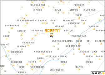
Sar ‘Eyn (Iran)Sar ‘Eyn is a town in Iran. An overview map of the region around Sar ‘Eyn is displayed below.
regional and 3d topo map of Sar ‘Eyn, Iran ::
Sar ‘Eyn airports ::
The nearest airport is RAS - Rasht, located 161.4 km south east of Sar ‘Eyn.
Other airports nearby include TBZ - Tabriz Intl (164.9 km west), Nearby towns ::
Bīlah Daraq (2.7km south east) //
Kanzaq (3.0km south) //
Erdī Mūsá (3.6km north east) //
Āq Qal‘eh (4.4km south) //
Kolvār (5.2km north) //
Korūl (5.2km north) //
Arjestān (5.4km north) //
Bīlah Daraq (4.5km west) //
Ātashgāh (5.5km north) //
Pīrāl Qīr (4.7km east) //
‘Alīābād (5.0km south east) //
Gāzūr (4.9km west) //
Darābād (5.9km north west) //
Varnīāb (6.7km south) //
Kalkhūrān-e Vīānd (6.6km south west) //
Vīānd-e Kalkhūrān (6.6km south west) //
Kordeh Deh (5.7km west) //
Andar Āb (6.9km north east) //
Shamsābād (6.9km north east) //
Chāy Seqerlū (7.8km south) //
Reẕāqolī Qeshlāq (7.9km south) //
Ḩakīm Qeshlāqī (7.2km south east) //
Askī Shahr (7.5km north east) //
Vīlā Darreh (7.3km west) //
Dīvlaq (9.0km north) //
Shīrān (9.0km south west) //
Rowshanaq (8.4km south east) //
Dowlat Sarā (9.4km north) //
Arvānaq (9.9km north west) //
[all distances 'as the bird flies' and approximate] 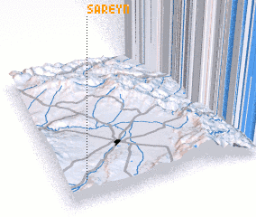 Places with similar names to Sar ‘Eyn, Iran ::
Disclaimer :: Information on this page comes without warranty of any kind |
||
|
Where is Sar ‘Eyn? Elevation and coordinates ::
Latitude (lat): 38°10'12"N Longitude (lon): 48°6'55"E
Elevation (approx.): 1624m (map arrows pan, magnifying glasses zoom) |
||
|
Visiting Sar ‘Eyn? Hotel/Accommodation ::
Book a hotel in Sar ‘Eyn Travel Guide ::
Buy a travel guide for Iran rental cars ::
car rental offers GPS waypoint ::
download a GPX waypoint (PoI) of Sar ‘Eyn for your GPS receiver
|
||