|
search place name
|
||
Shāhrokhābād (Khorāsān, Iran)Shāhrokhābād is a town in the Khorāsān region of Iran. An overview map of the region around Shāhrokhābād is displayed below.
regional and 3d topo map of Shāhrokhābād, Iran ::
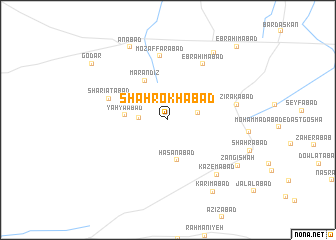
Nearby towns ::
Zamānābād (2.7km west) //
Ḩaţīţeh (2.9km east) //
Ḩasanābād (4.6km south) //
Yaḩyáābād (4.0km west) //
Mār Andīz (4.8km north west) //
Sharī‘atābād (5.9km north west) //
Moz̧affarābād (7.1km north) //
Ebrāhīmābād (7.0km north east) //
Zīrakābād (6.5km east) //
Kāz̧emābād (7.6km south east) //
Bāb ol Ḩakam (8.6km north east) //
Anābad (8.8km north west) //
Zangī Shāh (8.2km south east) //
Karīmābād (9.0km south east) //
Godār (9.3km north west) //
Ebrāhīmābād (10.3km north east) //
[all distances 'as the bird flies' and approximate] 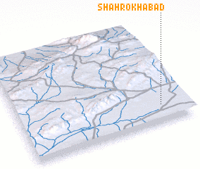 Places with similar names to Shāhrokhābād, Iran ::
// Charkhābād (IR)
// Shāhrokhābād (IR)
// Shāhrokhābād (IR)
// Shāhrokhābād (IR)
// Shāhrokhābād (IR)
// Shāhrokhābād (IR)
// Shāhrokhābād (IR)
// Shārikh ‘Abdī (SY)
Disclaimer :: Information on this page comes without warranty of any kind |
||
|
Where is Shāhrokhābād? Elevation and coordinates ::
Latitude (lat): 35°10'39"N Longitude (lon): 57°50'55"E
Elevation (approx.): 861m (map arrows pan, magnifying glasses zoom) |
||
|
Visiting Shāhrokhābād? Hotel/Accommodation ::
Book a hotel in Shāhrokhābād Travel Guide ::
Buy a travel guide for Iran rental cars ::
car rental offers GPS waypoint ::
download a GPX waypoint (PoI) of Shāhrokhābād for your GPS receiver
|
||