|
search place name
|
||
Anābad (Khorāsān, Iran)Anābad is a town in the Khorāsān region of Iran. An overview map of the region around Anābad is displayed below.
regional and 3d topo map of Anābad, Iran ::

Nearby towns ::
Moz̧affarābād (3.0km east) //
Mār Andīz (4.0km south) //
Godār (3.9km south west) //
Sharī‘atābād (6.1km south) //
Yaḩyáābād (7.6km south) //
Zamānābād (7.9km south) //
Ebrāhīmābād (6.9km east) //
‘Alī Beyk (7.8km north west) //
Kalāteh-ye Jom‘eh (9.0km north) //
Shāhrokhābād (8.8km south east) //
Moḩammadābād (9.6km north west) //
Ḩaţīţeh (9.6km south east) //
[all distances 'as the bird flies' and approximate] 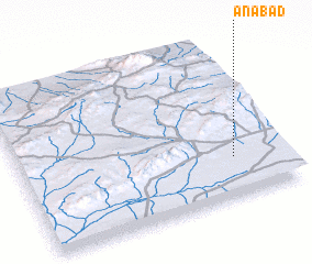 Places with similar names to Anābad, Iran ::
// Anbed (MA)
// Anabat (PH)
// Aïn Beïda (MA)
// Aïn Beïda (MA)
// Aïn Beïda (MA)
// ‘Ayn Bayḑah (IQ)
// An Nab‘āt (LB)
// An Nabbūţ (LB)
// ʼAïn Abid (DZ)
// ʼAïn Beïda (DZ)
Disclaimer :: Information on this page comes without warranty of any kind |
||
|
Where is Anābad? Elevation and coordinates ::
Latitude (lat): 35°15'2"N Longitude (lon): 57°48'37"E
Elevation (approx.): 907m (map arrows pan, magnifying glasses zoom) |
||
|
Visiting Anābad? Hotel/Accommodation ::
Book a hotel in Anābad Travel Guide ::
Buy a travel guide for Iran rental cars ::
car rental offers GPS waypoint ::
download a GPX waypoint (PoI) of Anābad for your GPS receiver
|
||