|
search place name
|
||
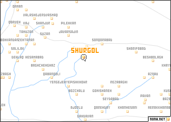
Shūrgol (Hamadān, Iran)Shūrgol is a town in the Hamadān region of Iran. An overview map of the region around Shūrgol is displayed below.
regional and 3d topo map of Shūrgol, Iran ::
Shūrgol airports ::
The nearest airport is RZR - Ramsar, located 226.3 km north east of Shūrgol.
Nearby towns ::
Qarā Qayeh (3.2km north) //
Sonqorābād (4.8km north east) //
Yengejeh-ye Pīsh Khowr (6.3km south west) //
Morghābād (6.3km south east) //
Jāvar Sajīn (6.3km north west) //
Bozchalū (7.6km south) //
Gomīshāneh (8.0km south) //
Qābānqolī (7.1km south west) //
Pīleh Kān (8.0km north) //
Reẕā Bāghī (8.2km south east) //
Sūzan (8.8km north west) //
Basīshāneh (9.6km south east) //
Shāhanjarīn (10.1km north west) //
[all distances 'as the bird flies' and approximate] 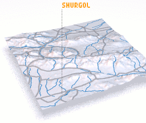 Places with similar names to Shūrgol, Iran ::
// Shyrokyy Luh (UA)
// Charkli (RU)
// Charīklū (IR)
// Chārqolī (IR)
// Charāikol (BD)
// Chāraikola (BD)
// Char Goāli (BD)
// Char Kāli (BD)
// Char Kāli (BD)
// Churigualla (CL)
Disclaimer :: Information on this page comes without warranty of any kind |
||
|
Where is Shūrgol? Elevation and coordinates ::
Latitude (lat): 35°14'0"N Longitude (lon): 49°15'0"E
Elevation (approx.): 1903m (map arrows pan, magnifying glasses zoom) |
||
|
Visiting Shūrgol? Hotel/Accommodation ::
Book a hotel in Shūrgol Travel Guide ::
Buy a travel guide for Iran rental cars ::
car rental offers GPS waypoint ::
download a GPX waypoint (PoI) of Shūrgol for your GPS receiver
|
||