|
search place name
|
||
Dhana Sar (Balochistān, Pakistan)Dhana Sar is a town in the Balochistān region of Pakistan. An overview map of the region around Dhana Sar is displayed below.
regional and 3d topo map of Dhana Sar, Pakistan ::

Dhana Sar airports ::
The nearest airport is PZH - Zhob, located 50.8 km west of Dhana Sar.
Other airports nearby include MUX - Multan Intl (192.2 km south east), Nearby towns ::
Garang Kili (1.7km north) //
Tang Walwāst (6.4km north east) //
Chamāzai (5.7km east) //
Jamālzai (6.4km north east) //
Muhammadzai (7.4km north east) //
Wali (8.6km north west) //
Wālai (9.5km north) //
Dabbar (9.1km north east) //
Iskharkuna (9.3km north east) //
Nārwarsak (10.1km south west) //
Khwārai (10.8km south east) //
[all distances 'as the bird flies' and approximate] 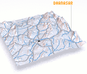 Places with similar names to Dhana Sar, Pakistan ::
// Dahaneh Sar (IR)
// Deh-e Naşīr (IR)
// Deh-e Naşīr (IR)
// Dhaniāsur (BD)
// Dahinsara (IN)
// Dhanasar (IN)
// Dhanāseri (IN)
// Dhansir (IN)
// Dhansura (IN)
Disclaimer :: Information on this page comes without warranty of any kind |
||
|
Where is Dhana Sar? Elevation and coordinates ::
Latitude (lat): 31°25'22"N Longitude (lon): 69°59'31"E
Elevation (approx.): 1225m (map arrows pan, magnifying glasses zoom) |
||
|
Visiting Dhana Sar? Hotel/Accommodation ::
Book a hotel in Dhana Sar Travel Guide ::
Buy a travel guide for Pakistan rental cars ::
car rental offers GPS waypoint ::
download a GPX waypoint (PoI) of Dhana Sar for your GPS receiver
|
||