|
search place name
|
||
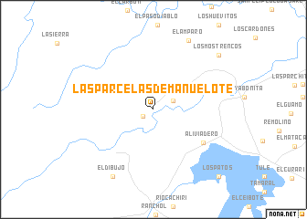
Las Parcelas de Manuelote (Zulia, Venezuela)Las Parcelas de Manuelote is a town in the Zulia region of Venezuela. An overview map of the region around Las Parcelas de Manuelote is displayed below.
regional and 3d topo map of Las Parcelas de Manuelote, Venezuela ::
Las Parcelas de Manuelote airports ::
The nearest airport is MAR - Maracaibo La Chinita Intl, located 69.8 km south east of Las Parcelas de Manuelote.
Other airports nearby include RCH - Rio Hacha Almirante Padilla (99.4 km north west), VUP - Valledupar Alfonso Lopez Pumarejo (126.4 km south west), STB - Santa Barbara Del Zulia (221.4 km south), VLV - Valera Dr Antonio Nicolas Briceno (253.3 km south east), Nearby towns ::
Manuelote (1.5km south west) //
Valencia (2.6km north east) //
Aliviadero (7.3km south east) //
El Amparo (9.4km north east) //
El Dibujo (9.6km south west) //
Los Mostrencos (10.2km north east) //
Los Patos (11.3km south east) //
[all distances 'as the bird flies' and approximate] 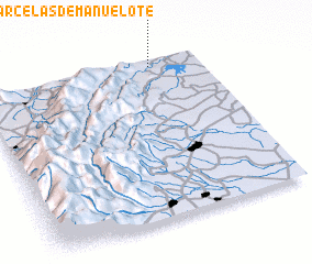 Places with similar names to Las Parcelas de Manuelote, Venezuela :: Disclaimer :: Information on this page comes without warranty of any kind |
||
|
Where is Las Parcelas de Manuelote? Elevation and coordinates ::
Latitude (lat): 10°57'26"N Longitude (lon): 72°13'18"W
Elevation (approx.): 31m (map arrows pan, magnifying glasses zoom) |
||
|
Visiting Las Parcelas de Manuelote? Hotel/Accommodation ::
Book a hotel in Las Parcelas de Manuelote Travel Guide ::
Buy a travel guide for Venezuela rental cars ::
car rental offers GPS waypoint ::
download a GPX waypoint (PoI) of Las Parcelas de Manuelote for your GPS receiver
|
||