|
search place name
|
||
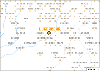
Luggarewa (Gongola, Nigeria)Luggarewa is a town in the Gongola region of Nigeria. An overview map of the region around Luggarewa is displayed below.
regional and 3d topo map of Luggarewa, Nigeria ::
Luggarewa airports ::
The nearest airport is GOU - Garoua, located 85.0 km south of Luggarewa.
Other airports nearby include YOL - Yola (113.2 km south west), MVR - Maroua Salak (136.1 km east), MIU - Maiduguri (199.7 km north), Nearby towns ::
Nyukkara Jauro (0.0km north) //
Siralle (0.0km north) //
Babalya (0.0km north) //
Umaru (0.0km north) //
Siralle (1.8km west) //
Danfura (1.8km east) //
Suware (1.8km east) //
Noddere Bokki (1.9km north) //
Kwalaha (2.6km north west) //
Wuro Ardo Ribadu (2.6km south west) //
Salma Hubbare (2.6km south west) //
Miliya (2.6km north east) //
Kwaboon (2.6km north east) //
Markin (2.6km south east) //
Biche (2.6km north east) //
Wuro Naude (2.6km north east) //
Kesure (3.6km west) //
Yola Kohu (3.7km south) //
Mbumnga (3.7km south) //
Wuro Bakari (4.1km south west) //
Suware (4.1km south west) //
Wamngo Galdi (4.1km south east) //
Wuro Mallum (4.1km south east) //
Wuro Gare (4.1km south east) //
Salma Dakin (4.1km south east) //
Jauro Hamma Tukar (4.1km south east) //
Labbare (4.1km north east) //
Nyibango Ardo Musa (4.1km north east) //
Rijiya (5.2km south east) //
[all distances 'as the bird flies' and approximate] 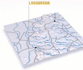
Disclaimer :: Information on this page comes without warranty of any kind |
||
|
Where is Luggarewa? Elevation and coordinates ::
Latitude (lat): 10°3'0"N Longitude (lon): 13°5'0"E
Elevation (approx.): 474m (map arrows pan, magnifying glasses zoom) |
||
|
Visiting Luggarewa? Hotel/Accommodation ::
Book a hotel in Luggarewa Travel Guide ::
Buy a travel guide for Nigeria rental cars ::
car rental offers GPS waypoint ::
download a GPX waypoint (PoI) of Luggarewa for your GPS receiver
|
||