|
search place name
|
||
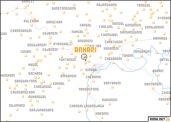
Anha-ri (P'yŏngan, Korea, North)Anha-ri is a town in the P'yŏngan region of Korea, North. An overview map of the region around Anha-ri is displayed below.
regional and 3d topo map of Anha-ri, Korea, North ::
Anha-ri airports ::
The nearest airport is FNJ - Pyongyang Intl, located 80.4 km south west of Anha-ri.
Nearby towns ::
Hwanang-ni (0.4km south) //
Ch'ang-ni (0.6km east) //
Pŏdŭl-gol (1.4km north east) //
Tŏkch'ŏn-ŭp (1.6km south east) //
Namp'yŏngch'am (1.9km south) //
Hamjŏng-gol (2.0km north west) //
Unsong-ni (2.2km south west) //
Ch'ŏngnyong-ni (2.7km south) //
Ch'ŏngsong-nodongjagu (2.4km south west) //
Sinsan (3.0km south) //
Ch'ulgae (2.8km north east) //
Chungdong-ni (2.7km east) //
Andong-ni (3.5km north) //
Punt'o-dong (2.9km north west) //
Much'ang-ni (3.4km north west) //
Tŏktong-ni (3.1km west) //
Chŏngdang-ni (3.5km south west) //
Chenam-ni (4.6km south) //
Tumyŏng-dong (4.1km east) //
Tŏktong-ni (4.1km west) //
Hyangsang-ni (5.0km north west) //
Yongjŏl-li (5.4km south) //
Sinsŏng-ni (5.0km south west) //
Ansang-ni (5.6km north) //
Mulmich'i (4.7km south west) //
Hyangwŏl-li (4.8km north west) //
Kŭm-gol (5.7km north) //
Masang-ni (4.7km north east) //
Sinsŏng-nodongjagu (4.6km west) //
[all distances 'as the bird flies' and approximate] 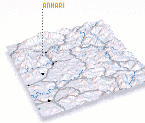 Places with similar names to Anha-ri, Korea, North ::
Disclaimer :: Information on this page comes without warranty of any kind |
||
|
Where is Anha-ri? Elevation and coordinates ::
Latitude (lat): 39°46'14"N Longitude (lon): 126°17'1"E
Elevation (approx.): 148m (map arrows pan, magnifying glasses zoom) |
||
|
Visiting Anha-ri? Hotel/Accommodation ::
Book a hotel in Anha-ri Travel Guide ::
rental cars ::
car rental offers GPS waypoint ::
download a GPX waypoint (PoI) of Anha-ri for your GPS receiver
|
||