|
search place name
|
||
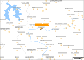
Oha-dong (Korea, North)Oha-dong is a town in Korea, North. An overview map of the region around Oha-dong is displayed below.
regional and 3d topo map of Oha-dong, Korea, North ::
Oha-dong airports ::
The nearest airport is FNJ - Pyongyang Intl, located 43.5 km south west of Oha-dong.
Other airports nearby include GMP - Seoul Gimpo (232.9 km south), Nearby towns ::
Obong-ni (0.5km north west) //
Osang-ni (1.9km north) //
Songgye-dong (3.7km south) //
Pukch'ang-ni (4.0km south) //
Tapto-ri (3.5km north west) //
Taegang-ni (4.4km north) //
Mukpang-ni (4.7km north east) //
Ch'op'yŏng-dong (5.7km south) //
Kiyang-ni (4.7km east) //
Kwangdo-ri (4.7km west) //
Sinhŭngch'am (4.9km east) //
Kanch'am (5.1km south west) //
Ŭngbongch'am (5.0km east) //
Nojŏnch'am (6.2km north west) //
Sŏjae-dong (7.5km south) //
Saen-maŭl (7.5km south) //
Yongang-ni (7.9km south) //
Saek-kol (8.5km north) //
Naenjŏngcha'm (6.7km east) //
Hallyŏng-ni (7.6km south east) //
Chŏp-tong (9.4km south west) //
Pusal-li (9.5km south east) //
[all distances 'as the bird flies' and approximate] 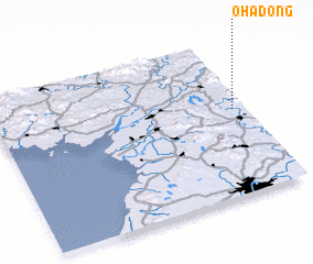 Places with similar names to Oha-dong, Korea, North ::
Disclaimer :: Information on this page comes without warranty of any kind |
||
|
Where is Oha-dong? Elevation and coordinates ::
Latitude (lat): 39°33'0"N Longitude (lon): 125°57'0"E
Elevation (approx.): 86m (map arrows pan, magnifying glasses zoom) |
||
|
Visiting Oha-dong? Hotel/Accommodation ::
Book a hotel in Oha-dong Travel Guide ::
rental cars ::
car rental offers GPS waypoint ::
download a GPX waypoint (PoI) of Oha-dong for your GPS receiver
|
||