|
search place name
|
||
Williamsfield (Westmoreland, Jamaica)Williamsfield is a town in the Westmoreland region of Jamaica. An overview map of the region around Williamsfield is displayed below.
regional and 3d topo map of Williamsfield, Jamaica ::

Williamsfield airports ::
The nearest airport is MBJ - Montego Bay Sangster Intl, located 26.3 km north east of Williamsfield.
Other airports nearby include OCJ - Ocho Rios Boscobel (116.4 km east), KTP - Kingston Tinson Pen (136.4 km east), KIN - Kingston Norman Manley Intl (141.8 km east), POT - Port Antonio Ken Jones (162.5 km east), Nearby towns ::
Glen Islay (0.0km north) //
Grange (1.9km north) //
Fort William (1.9km south) //
Porters Mountain (2.6km north east) //
Prospect (3.5km west) //
Friendship (4.0km south west) //
Greenwich (4.1km south west) //
Roaring River (4.1km south east) //
Pennycooke (5.1km north west) //
Alexandria (5.1km north east) //
Axe and Adze (5.1km north east) //
Golden Grove (5.1km north east) //
Mackfield (5.3km east) //
Mount Grace (5.3km west) //
Petersfield (5.6km south) //
Shrewsbury (5.6km south) //
Ramble Pen (5.6km east) //
Lodge Bush (5.6km west) //
Success (5.8km north) //
Cornwall (6.6km south west) //
Buxton (6.6km north west) //
Mount Terza (6.5km south east) //
Mesopotamia (6.5km south west) //
Caledonia (6.6km south east) //
Town Head (7.0km west) //
Caledonia (7.6km north) //
Tarwood (7.6km north) //
Clifton (7.3km west) //
Carawina (7.6km south) //
[all distances 'as the bird flies' and approximate] 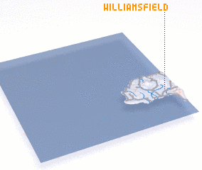 Places with similar names to Williamsfield, Jamaica ::
// Williamsfield (US)
// Willmsfeld (DE)
// Williamsfield (US)
// Williamsfield (JM)
// Williamsfield (JM)
// Williamsfield (JM)
// Williamsfield (JM)
// Williamsfield (JM)
// Williamsfield (JM)
// Williamsfield (JM)
Disclaimer :: Information on this page comes without warranty of any kind |
||
|
Where is Williamsfield? Elevation and coordinates ::
Latitude (lat): 18°19'0"N Longitude (lon): 78°4'0"W
Elevation (approx.): 103m (map arrows pan, magnifying glasses zoom) |
||
|
Visiting Williamsfield? Hotel/Accommodation ::
Book a hotel in Williamsfield Travel Guide ::
Buy a travel guide for Jamaica rental cars ::
car rental offers GPS waypoint ::
download a GPX waypoint (PoI) of Williamsfield for your GPS receiver
|
||